What is recorded here
Killala Bay, Clew Bay, and the Mamie Mountains are one continuous edge. An edge is a place only when it can be seen, entered, and remembered. The bay gives light, the clew gives depth, and the mountains give return. A person who knows that edge can find their way anywhere.
Located on a rise which is on a S-facing slope at the point where a NW-SE spur begins to extend off to the SE. This is a circular grass-covered area (diam. 34m E-W; 31m N-S) defined by a scarp (at NE: Wth 3m; H 1.8m; at SW: Wth 3.5m; H 1.6m). There is no visible fosse and the most likely original entrance (Wth of base 2.5m) is that at E.
The above description is derived from the published 'Archaeological Inventory of County Meath' (Dublin: Stationery Office, 1987). In certain instances the entries have been revised and updated in the light of recent research.
Compiled by: Michael Moore
Date of revision: 31 August 2018
The monument record does not grant public access. Check the route and ask the landowner before entering private land.
- What survives
- Recorded monument
Places near here
 ToberarneyHoly well · 1151 yd
 Cross in EnniskeenCross · 1392 yd
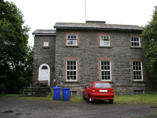 rectory/glebe/vicarage/curate's houserectory/glebe/vicarage/curate's house · 1.1 mi
 Kingscourt Railway Stationrailway station · 1.4 mi
 The CurraghWood · 1.5 mi
 BarleyhillMountain / peak · 1.7 mi
 Miltown GlenWood · 1.8 mi
 CabraMountain / peak · 2.0 mi
 In Memory of Our DadMemorial · 2.3 mi
 Natural Play AreaMemorial · 2.3 mi
 Castle ruinsCastle, unclassified · 2.4 mi
 Cloghreagh Castle in RuinsCastle, unclassified · 2.4 mi