What is recorded here
Kilnalun is an earthen ringfort in County Meath, Ireland, built towards the top of a NE-facing slope. It is a circular grass and rush-covered area about 28.7 metres wide, defined by an earthen bank and hedge, with a shallow fosse cutting through the north and east. The original entrance has not been identified, leaving the fort closed and complete under its own green skin.
Located towards the top of a NE-facing slope. This is a circular grass and rush-covered area (diam. 28.7m WNW-ESE; 28.4m NNE-SSW) that slopes down to the N, which is defined by an earthen bank (at NNE: Wth of base 5.5m; int. H 0.7m; ext. H 1.4m) and hedge, with a fosse (Wth of top 3.2m; Wth of base 2m; int. D 1.4m; ext. D 0.45m) N-SE. The original entrance is not identified.
The above description is derived from the published 'Archaeological Inventory of County Meath' (Dublin: Stationery Office, 1987). In certain instances the entries have been revised and updated in the light of recent research.
Compiled by: Michael Moore
Date of revision: 31 August 2018
The monument record does not grant public access. Check the route and ask the landowner before entering private land.
- What survives
- Recorded monument
Places near here
 ToberarneyHoly well · 855 yd
 Cross in EnniskeenCross · 1196 yd
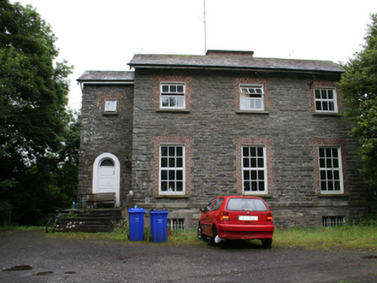 rectory/glebe/vicarage/curate's houserectory/glebe/vicarage/curate's house · 1385 yd
 Kingscourt Railway Stationrailway station · 1.1 mi
 The CurraghWood · 1.4 mi
 BarleyhillMountain / peak · 1.5 mi
 CabraMountain / peak · 1.7 mi
 Dún a Rí Forest ParkForest · 1.9 mi
 In Memory of Our DadMemorial · 2.0 mi
 Natural Play AreaMemorial · 2.0 mi
 Castle ruinsCastle, unclassified · 2.1 mi
 Cloghreagh Castle in RuinsCastle, unclassified · 2.6 mi