What is recorded here
Fairy fort in Kilnalun, County Meath, is a circular grass-covered area defined by an earthen bank and a surviving outer fosse on a NW-facing slope. The road now cuts through its SE edge, obscuring the entrance that once admitted people or excluded them. Its dimensions remain measurable even though its purpose has become unclear.
Situated on a NW-facing slope. This is a circular grass-covered area (diam. c. 35m NE-SW; 33.7m NW-SE) defined by an earthen bank (at NW: Wth of base 6.7m; int. H 0.5m; ext. H 2.2m) and an outer fosse (Wth 2.5m; ext. D 0.2m) that survive WNW-N. The monument is cut by a NE-SW road at SE and is defined by a slight scarp SE of this feature. The original entrance is not evident.
The above description is derived from the published 'Archaeological Inventory of County Meath' (Dublin: Stationery Office, 1987). In certain instances the entries have been revised and updated in the light of recent research.
Compiled by: Michael Moore
Date of revision: 31 August 2018
The monument record does not grant public access. Check the route and ask the landowner before entering private land.
- What survives
- Recorded monument
Places near here
 ToberarneyHoly well · 590 yd
 Cross in EnniskeenCross · 886 yd
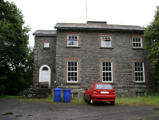 rectory/glebe/vicarage/curate's houserectory/glebe/vicarage/curate's house · 1362 yd
 Kingscourt Railway Stationrailway station · 1.1 mi
 The CurraghWood · 1.3 mi
 BarleyhillMountain / peak · 1.6 mi
 CabraMountain / peak · 1.7 mi
 Miltown GlenWood · 1.8 mi
 In Memory of Our DadMemorial · 2.0 mi
 Natural Play AreaMemorial · 2.0 mi
 Castle ruinsCastle, unclassified · 2.1 mi
 Cloghreagh Castle in RuinsCastle, unclassified · 2.7 mi