What is recorded here
Kilnagross holds a broken earthen ring on a drumlin slope, its entrance lost to time and its boundary swallowed by a living hedge. The fort is small enough to walk across in a minute, yet it has stood through every storm and every forgotten life that passed it. Its missing gate suggests the earth itself decided when to hide the way in.
Located towards the top of the SW-facing slope of a drumlin. This is a grass-covered circular area (int. diam. 29m N-S; 28.5m E-W) defined by an earthen bank (Wth 2.6m; int. H 0.3m; ext. H 0.6m generally to 0.95m at SW) incorporated into a field bank and hedge SW-N and an external fosse (Wth 2-3m; D 0.25m). The original entrance is not identified.
The above description is derived from 'The Archaeological Inventory of County Leitrim' compiled by Michael J. Moore (Dublin: Stationery Office, 2003). In certain instances the entries have been revised and updated in the light of recent research.
Date of upload: 23 September 2008
The monument record does not grant public access. Check the route and ask the landowner before entering private land.
- What survives
- Recorded monument
Places near here
 IndicatedFairy fort / earthen ringfort · 1580 yd
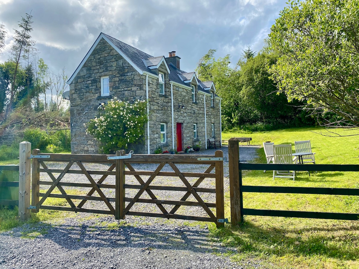 Enclosure in Gortanure NorthEnclosure · 1740 yd
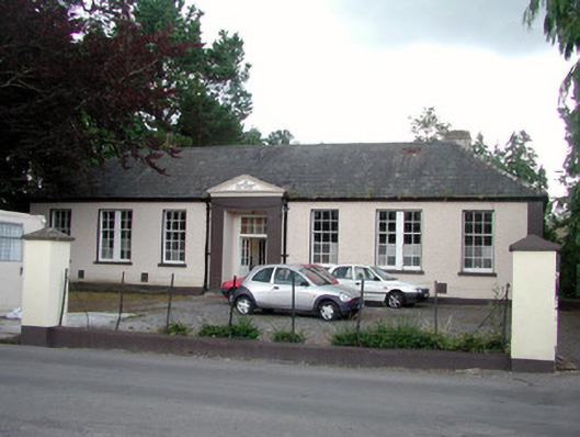 Keshcarrigan Vocational Schoolcollege · 1.8 mi
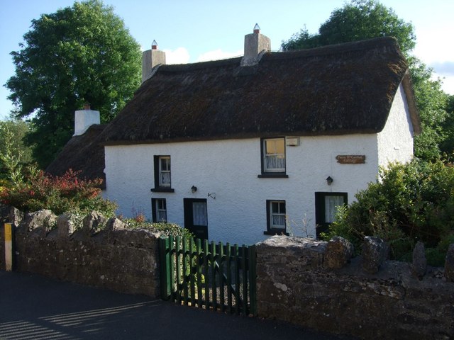 Fionn McCumhail Cottagehouse · 1.9 mi
 Sheemore Ambush MemorialMonument · 2.1 mi
 Castle JohnCastle · 2.3 mi
 Whiskey IslandIslet · 2.4 mi
 Otter IslandIsland · 2.4 mi
 Leabaidh DermotCave · 2.5 mi
 CastleforeCastle, tower house · 3.3 mi
 Shannon-Erne WaterwayVisitor information · 4.3 mi
 Declaration of IndependenceMemorial · 4.8 mi