What is recorded here
That is a fairy fort in Kilmurragh, County Offaly. It sits on a ridge of natural rock with views in every direction. A subcircular earth and stone bank encloses the top. The bank measures 2.1m wide, 1m high inside and 0.5m high outside. The area spans 25.9m north-south and 28.6m east-west. No entrance or outer ditch remains visible. A modern field boundary cuts across the north side. People may have watched the land from there, or excluded others from it. The shape still keeps its edge against the sky.
On top of a ridge of natural rock outcrop with good views in all directions. Subcircular shaped area (25.9m N-S ; 28.6m E-W) enclosed by an earth and stone bank (Wth 2.1m; int. H 1m, ext. H 0.5m) with no evidence of an external fosse or entrance feature. A modern field boundary intersects the site at N.
The above description is derived from the published 'Archaeological Inventory of County Offaly' (Dublin: Stationery Office, 1997). In certain instances the entries have been revised and updated in the light of recent research.
Date of upload: 23 May 2011
The monument record does not grant public access. Check the route and ask the landowner before entering private land.
- What survives
- Recorded monument
Places near here
 IndicatedFairy fort / earthen ringfort · 322 yd
 Crannog in Cartron GlebeCrannog · 961 yd
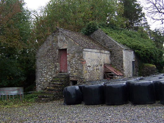 outbuildingoutbuilding · 1026 yd
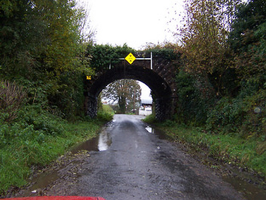 bridgebridge · 1055 yd
 Faheeran Castle (ruins)Castle · 1.1 mi
 Partially hachuredBawn · 1.1 mi
 KnockastiaMountain / peak · 2.0 mi
 Kilmalady HillMountain / peak · 3.0 mi
 ToberaskeenSpring · 3.7 mi
 Charles BianconiMemorial · 4.0 mi
 The Bob Traynor GalleryGallery · 4.1 mi
 Dún na Sí Heritage CentreMuseum · 4.6 mi