What is recorded here
Kilmoney North held a circular earthen ringfort roughly seventy metres across when first mapped in 1838. Farming tools and changing land use stretched that circle into an oval, then flattened most of the bank and fosse by 1957. A low scarp still marks the place beneath pasture and tillage, preserving the shape of a fort that people lived in, forgot, and ploughed through.
On level, mixed pasture and tillage. Shown on the 1st ed. (1838) of the OS 6-inch map as a circular area (ext. diam. c. 70m) defined by a bank, which by 1908, as shown on the latest ed. the map, had been altered into an oval area (ext. diams. c. 70m NW-SE; c. 50m NE-SW) defined by a scarp. Described in 1955 as a slightly raised area defined by a bank and fosse, which by 1957 had been levelled and ploughed during land reclamation works (SMR file). The monument is visible as a low, oval area (ext. diams. c. 60m NW-SE; c. 40m NE-SW) defined by a long, low scarp (max. H 1m).
Compiled by: Gearóid Conroy
Date of upload: 10 June 2011
The monument record does not grant public access. Check the route and ask the landowner before entering private land.
- What survives
- Recorded monument
Places near here
 Church in Kilmoney NorthChurch · 337 yd
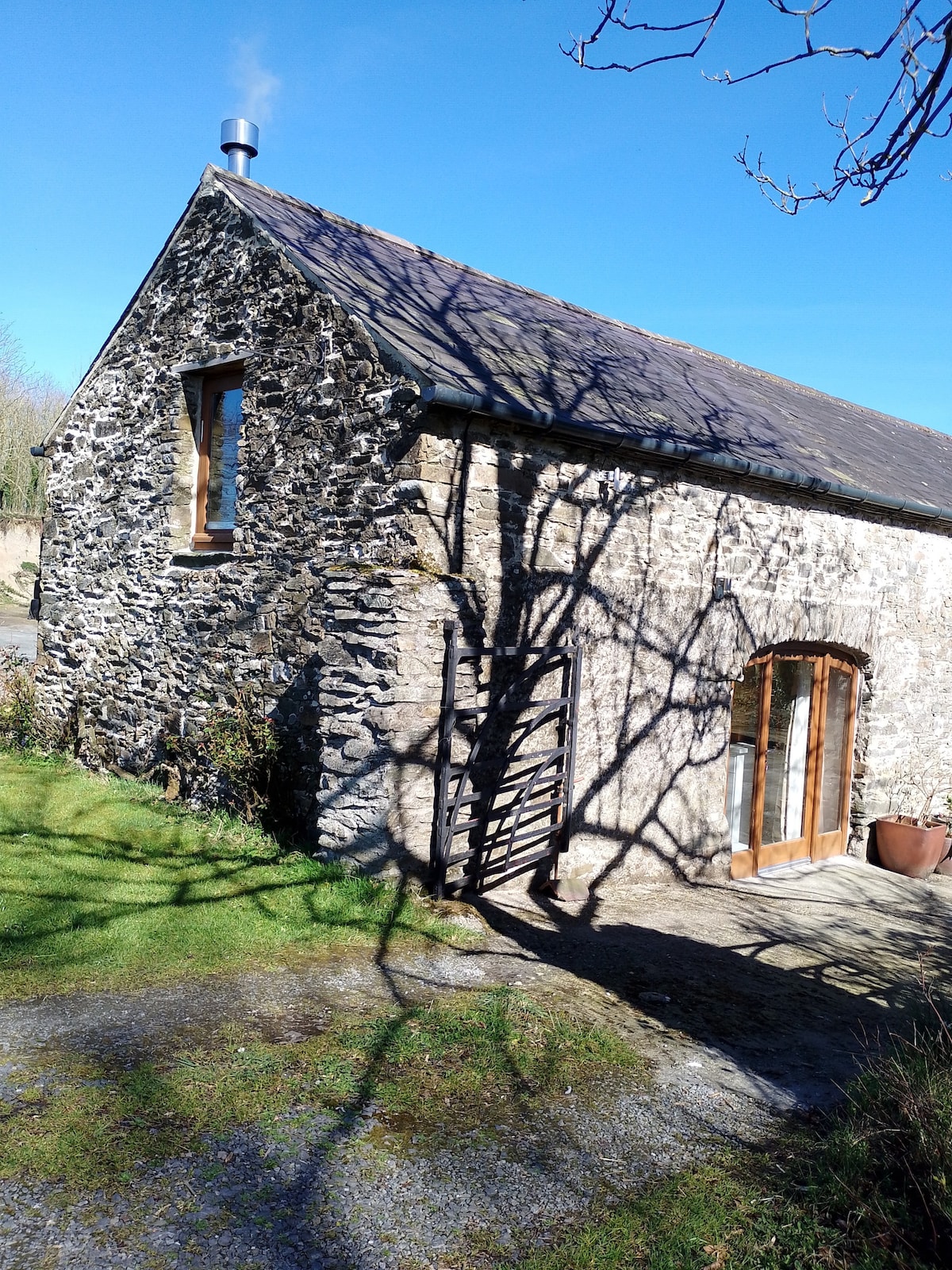 Enclosure in Kilmoney NorthEnclosure · 522 yd
 Enclosure in BoherkillEnclosure · 1418 yd
 Church in Rathangan (rathangan Ed)Church · 1.0 mi
 Bithia Mary CrokerMemorial · 1.8 mi
 Chair of KildareCastle, unclassified · 1.9 mi
 Site of CastleCastle, tower house · 2.0 mi
 Community OrchardNature reserve · 2.1 mi
 Killinthomas Wood (Rathangan)Wood · 2.4 mi
 The Fairy BowerHeritage attraction · 3.3 mi
 Lullymore Heritage ParkHeritage attraction · 3.3 mi
 Derryounce Walk (Yellow Loop)Walking route · 10 mi