What is recorded here
No fairy ever flew there. People built the round fort, lived under an open sky, and let goats grind the edge into pasture. The flat circle still marks the place where human hands shaped the land before memory faded.
In pasture, in gently undulating terrain. Monument, depicted as embanked circular enclosure on 1841 OS 6-inch map, has been partially levelled but is still evident as circular area (24m N-S; 24.5m E-W) enclosed by earthen bank (int. H 0.2m; ext. H 0.3m) NW->NNE, and defined by scarped edge (H 0.6m; Wth 7.5m) NNE->NW. Level interior is under pasture.
Compiled by: Denis Power
Date of upload: 26 August 2011
The monument record does not grant public access. Check the route and ask the landowner before entering private land.
- What survives
- Recorded monument
Places near here
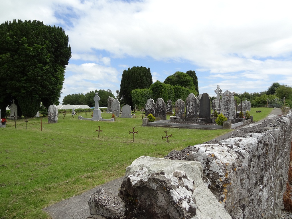 Enclosure in KilmacowEnclosure · 148 yd
 Kilmacow Church (in ruins)Church · 243 yd
 Kilmacow Ho.Bawn · 464 yd
 Abbey (in ruins)Church · 589 yd
 Ecclesiastical enclosure in KilmacowEcclesiastical enclosure · 603 yd
 KnockfeerinaMountain / peak · 1.2 mi
 Kilfinny CastleCastle · 1.2 mi
 Kinnoor WellSpring · 1.4 mi
 Famine stoneMemorial · 1.5 mi
 Flat cemetery in Kiltenan SouthFlat cemetery · 2.8 mi
 Dysert AenghusaHeritage attraction · 3.0 mi
 Biodiversity in the Maigue CatchmentVisitor information · 3.9 mi