What is recorded here
Forty metres across on a drumlin slope, the earthen ringfort in Killyrue still marks the ground where people lived, died and stopped coming back. Fields and forgetting have since cut through its edge, yet the circle can still be traced.
Designated 'Fort' on OS 1836 ed. Not marked on subsequent eds. Situated on the SW slope of a drumlin hill. It apparently comprised a slightly raised area (int. diam. c. 40m) enclosed by an earthen bank and fosse. From ENE-SE the perimeter has been modified and incorporated into the field boundary. Elsewhere the enclosing features have been levelled. Nonetheless their outline can be traced from WNW-NNW. Original entrance not recognisable.
The above description is derived from the published 'Archaeological Inventory of County Cavan' (Dublin: Stationery Office, 1995). In certain instances the entries have been revised and updated in the light of recent research.
Date of upload/revision: 22 December 2008
The monument record does not grant public access. Check the route and ask the landowner before entering private land.
- What survives
- Recorded monument
Places near here
 Drumgoon Bridgebridge · 1096 yd
 Graveyard in Drumgoon (clankee By.)Graveyard · 1119 yd
 St Patrick's Roman Catholic Churchchurch/chapel · 1203 yd
 IndicatedFairy fort / earthen ringfort · 1464 yd
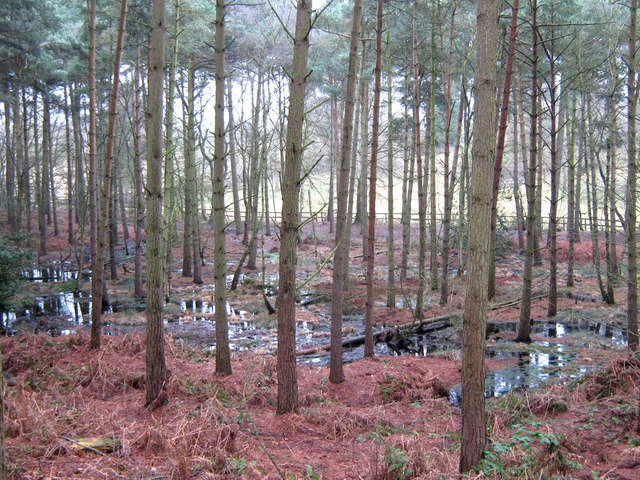 Lisdoagh Wet WoodlandWood · 1.4 mi
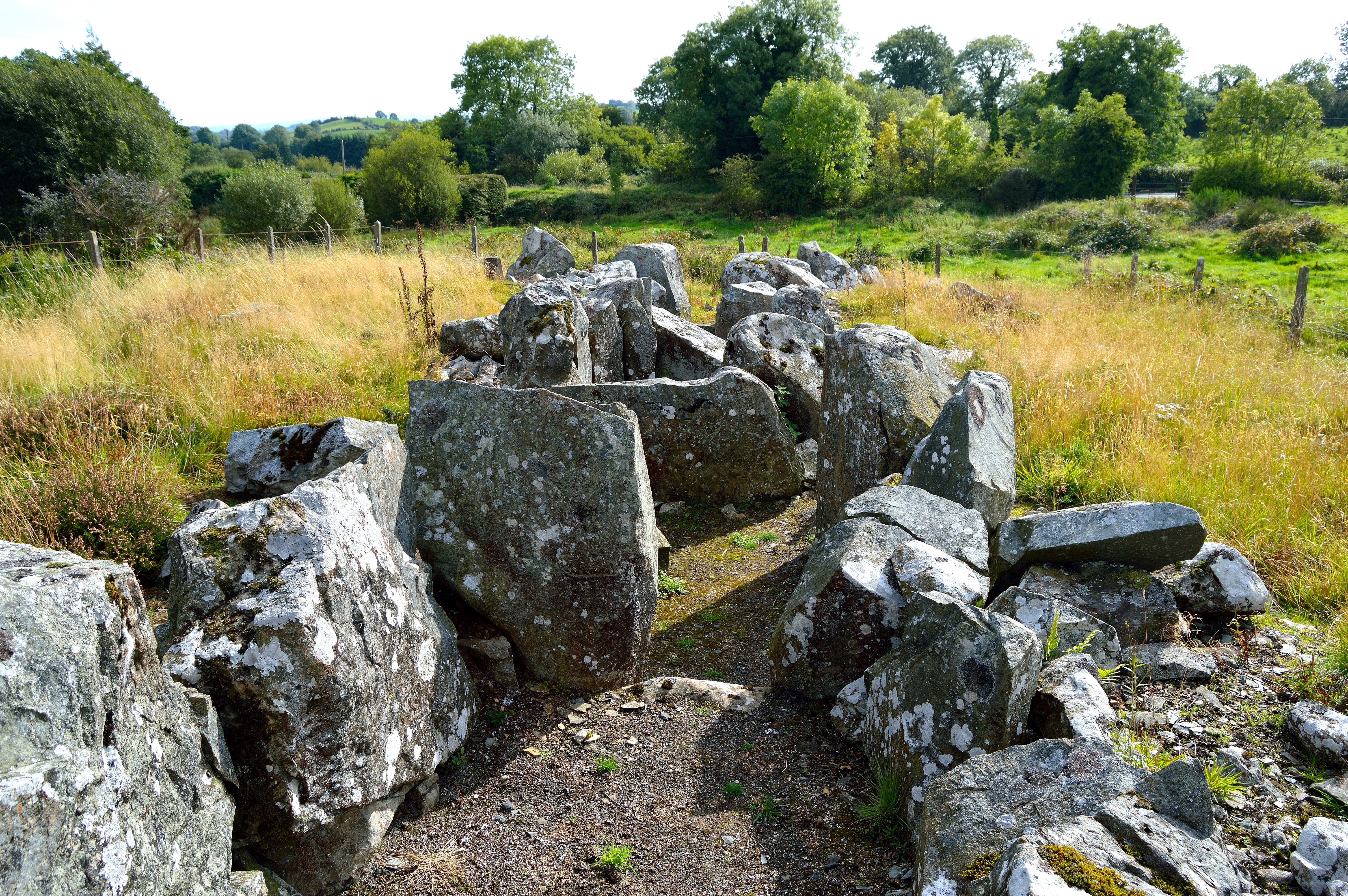 Giant GraveCourt tomb · 1.6 mi
 Drumlumman Wet WoodlandWood · 1.6 mi
 Giant's GraveArchaeological place · 2.0 mi
 AghagashlanMountain / peak · 2.2 mi
 CornanurneyMountain / peak · 2.3 mi
 CastleCastle, unclassified · 2.7 mi
 Small IslandIsland · 3.1 mi