What is recorded here
Fairy forts are earthen ringforts people stopped calling homes but never stopped noticing. In Killygragy the ridge still carries a shallow circular scar, wide enough for a small courtyard and old enough to appear on early maps. The land may have been a dwelling, a boundary marker, or a child’s climbing hill before it became a fairy tale.
Located on a summit of an E-W drumlin ridge. This rath is depicted on McCrea’s Map of County Monaghan (1793) and on the 1834 and 1907 editions of the OS 6-inch map. This is a subcircular grass and scrub-covered area (dims 27m E-W; 24m N-S) defined by an earthen bank SE-NNW (at N: ext. H 1.6m) that is reduced to a scarp elsewhere, and outer fosse that is largely missing NNW-ENE. There is a modernised entrance (Wth of base 2.2m) and causeway (Wth of top 2.5m; H 0.4m) at WNW and another entrance at NE.
The above description is derived from the published 'Archaeological Inventory of County Monaghan' (Dublin: Stationery Office, 1986). In certain instances the entries have been revised and updated in the light of recent research.
Revised by: Michael Moore
Date of revision: 18 June 2018
A fairy fort or earthen ringfort in Killygragy, likely dating to the early medieval period, is situated on a drumlin ridge and has been recorded on maps since 1793. Local tradition associates such sites with fairy folk, and they were often avoided due to beliefs in their supernatural inhabitants.
The monument record does not grant public access. Check the route and ask the landowner before entering private land.
- What survives
- Recorded monument
Places near here
 Fairy fort / earthen ringfort in Aghadrumkeen (dartry By; Aghabog Par.)Fairy fort / earthen ringfort · 879 yd
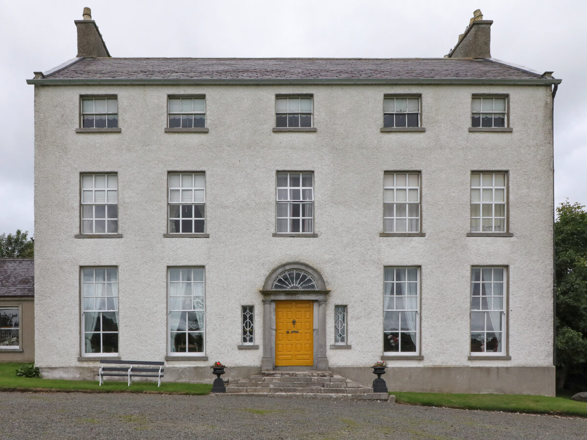 IndicatedFairy fort / earthen ringfort · 1150 yd
 Drumkeen Presbyterian Churchchurch/chapel · 1158 yd
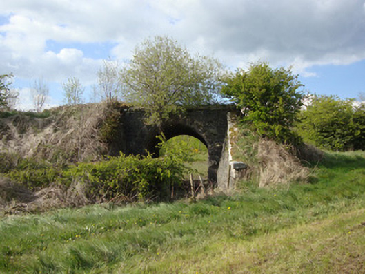 bridgebridge · 1244 yd
 Tomb HillMountain / peak · 2.9 mi
 LisnaspeenanMountain / peak · 2.9 mi
 Rabbitburrow WoodWood · 3.6 mi
 Dartrey ForestForest · 3.8 mi
 Roosky Castle (Site of)Castle, ringwork · 4.0 mi
 Jaundice WellSpring · 5.9 mi
 Senator Billy Fox 1939 - 1974Memorial · 8.9 mi
 Gull IslandIslet · 12 mi