What is recorded here
Killycrone holds a twenty-one-metre earthen ring where a modern trench cut through the ancient fosse, yet the southern bank still rises like a dormant ridge. The northern gap marks the entrance, inviting entry into a space where human hands shaped the earth before memory faded. The fort remains half-hidden, its boundary rewritten by later work but its circular intention unchanged.
Raised almost circular area (int. diam. c. 21.3m) enclosed by an earthen bank which is quite substantial from SSE-SSW, but denuded elsewhere, and a fosse infilled from SE-W-N and replaced by a modern trench from N-E-SSE. Break in bank at NNW probably represents original entrance.
The above description is derived from the published 'Archaeological Inventory of County Cavan' (Dublin: Stationery Office, 1995). In certain instances the entries have been revised and updated in the light of recent research.
Date of upload/revision: 22 December 2008
The monument record does not grant public access. Check the route and ask the landowner before entering private land.
- What survives
- Recorded monument
Places near here
 Foundation Stone Blessed by Pope John Paul II 1979Memorial · 402 yd
 St Bridget's Roman Catholic Churchchurch/chapel · 405 yd
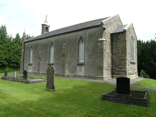 St Mark's Church of Ireland Churchchurch/chapel · 433 yd
 Killymeehan ForestForest · 1118 yd
 Enclosure in KilnagarbetEnclosure · 1284 yd
 To The Memory of P.J. DukeMemorial · 1561 yd
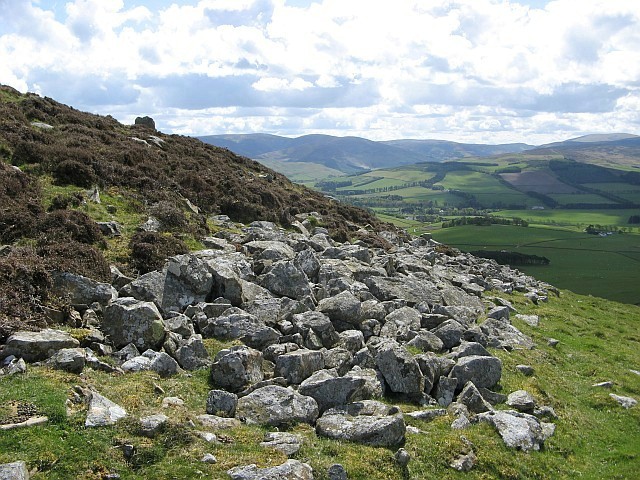 Black FortFairy fort / earthen ringfort · 1.2 mi
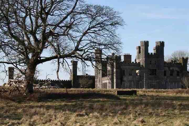 RavenswoodForest · 1.4 mi
 CliffernaMountain / peak · 2.8 mi
 CarrickallenMountain / peak · 3.3 mi
 Raven's RockNamed rock · 4.2 mi
 Site of Old CastleCastle, unclassified · 5.2 mi