What is recorded here
Ghost rails and forgotten roads cut through Killycarney, yet the circular earth remains. It is a fairy fort, a place where human history blunts into myth. The railway took one side, the road took the other, but the ring still holds its shape. What is missing is not loss, but transformation.
Not marked on OS 1836 or 1876 eds. Raised circular area (int. diam. c. 28m) enclosed by traces of a very low bank of earth and stone. From NW-NE the perimeter was destroyed as a result of the construction of the Sligo-Enniskillen railway which has long fallen into disuse and has been replaced by a modern roadway at this location. Original entrance not recognisable.
The above description is derived from the published 'Archaeological Inventory of County Cavan' (Dublin: Stationery Office, 1995). In certain instances the entries have been revised and updated in the light of recent research.
Date of upload/revision: 22 December 2008
This remains an important historical record, but the official description says the monument is no longer visible or has been destroyed. The monument record does not grant public access. Check the route and ask the landowner before entering private land.
- What survives
- No visible remains or recorded as destroyed
Places near here
 Saint Patrick's Catholic Churchchurch/chapel · 149 yd
 IndicatedFairy fort / stone ringfort · 280 yd
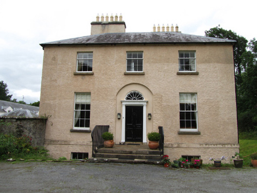 Killinagh Houserectory/glebe/vicarage/curate's house · 301 yd
 ToberbrideHoly well · 402 yd
 Giant's GraveArchaeological place · 1676 yd
 Kilrooscagh IslandIslet · 1.0 mi
 Tuam IslandIslet · 1.1 mi
 Port IslandCastle, Anglo-Norman masonry castle · 1.7 mi
 BarranMountain / peak · 1.7 mi
 BurrenMountain / peak · 1.8 mi
 Teampull RuisínHeritage attraction · 1.8 mi
 Legnaveagh SinkholeCave · 1.8 mi