What is recorded here
Killorglin's fairy fort is a broken circle of earth and memory, not a completed fort at all. The completed part is a shallow bank, a scarp and a field boundary; the missing part is the shape they stopped drawing. People walked past it because it gave nothing back but depth.
In pasture, on NE-facing slope. Circular area (30m NE-SW) enclosed by low earthen bank W->N; scarp (H 1.8m) N->E; field boundary E->S. Interior cuts into hillslope on SW side.
The above description is derived from the published 'Archaeological Inventory of County Cork. Volume 1: West Cork' (Dublin: Stationery Office, 1992). In certain instances the entries have been revised and updated in the light of recent research.
Date of upload/revision: 14 January 2009
The monument record does not grant public access. Check the route and ask the landowner before entering private land.
- What survives
- Recorded monument
Places near here
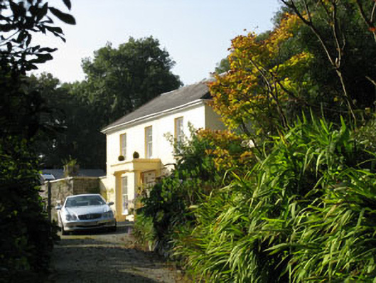 Corran Housemiller's house · 580 yd
 CreameryMill, flax · 641 yd
 Enclosure in Corran SouthEnclosure · 720 yd
 Man-made underground passage in Corran SouthMan-made underground passage · 879 yd
 William Thompson MemorialMemorial · 1.7 mi
 Leap waterfallHeritage attraction · 2.2 mi
 CarrigfaddaMountain / peak · 2.4 mi
 Cross commemorating Holy Day.Memorial · 2.5 mi
 Sitka SpruceSitka Spruce · 2.8 mi
 Bláth na GréineWood · 2.8 mi
 Myross PointHeadland · 3.0 mi
 Wild Atlantic WayVisitor information · 3.3 mi