What is recorded here
Killermogh holds a forgotten ringfort named Liscomyn, marked only as a faint twenty-five-metre circle on early maps before the earth swallowed the last visible edge. Carrigan pointed it out on rising ground towards Ballacolla, yet no stone or bank remains for modern hands to touch. The site has vanished into ordinary soil, preserving neither warning nor invitation, but its name still separates the field from oblivion.
Marked on the 1909 edition of the OS 6-inch map as a circular area (max. diam. c. 25m). Carrigan (1905, vol. 2, 220) refers to the site as the 'lis or rath of Liscomyn'. No visible surface remains.
Described by Carrigan as 'The lis or rath of Liscomyn may be observed a little farther on towards Ballacolla, on the rising ground to the right.' (Carrigan 1905, vol. 2, 220).
The above description is derived from the published 'Archaeological Inventory of County Laois' (Dublin Stationery Office, 1995) compiled by P. David Sweetman, Olive Alcock and Bernie Moran. In certain instances the entries have been revised and updated in the light of recent research.
Date of upload: 17 December 2007
A fairy fort / earthen ringfort in Killermogh, likely an early-medieval ringfort (rath), was referred to as the "lis or rath of Liscomyn" by Carrigan in 1905. Though no visible remains survive, such sites were often associated with local folklore, including beliefs in fairy inhabitants and other supernatural elements.
The monument record does not grant public access. Check the route and ask the landowner before entering private land.
- What survives
- Recorded monument
Places near here
 CastleCastle, unclassified · 550 yd
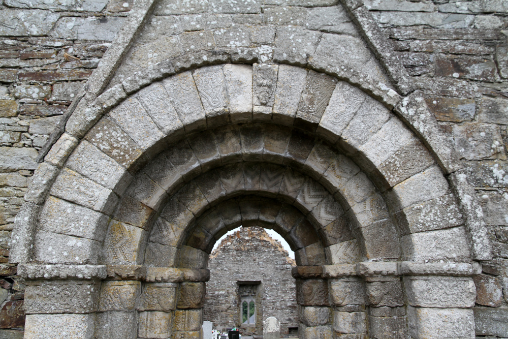 Killermogh Church (in Ruins)Church · 792 yd
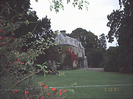 Moyne Househouse · 828 yd
 Enclosure in Ballycolla HeathEnclosure · 1.4 mi
 Durrow CastleCastle · 1.8 mi
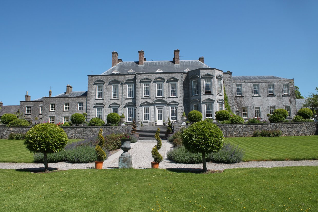 Ecclesiastical site in Castledurrow Demesne,durrow TownparksEcclesiastical site · 1.8 mi
 Birchfield PlantationForest · 1.9 mi
 Pedunculate OakPedunculate Oak · 2.2 mi
 Knocknamoe HouseMemorial · 4.2 mi
 Abbeyleix Heritage CentreMuseum · 4.5 mi
 1798 MonumentMemorial · 4.6 mi
 Anker's IslandIsland · 4.8 mi