What is recorded here
Killenna Glebe holds a grass-covered ringfort where a steep earth and stone bank circles a space thirty-one metres across. The entrance has vanished beneath hedge and time, forcing every visitor to imagine the gap rather than walk through a known door. That missing opening turns the fort into a living puzzle, inviting people to drop a marble or picture a hidden chamber because the site still demands participation.
Located on a N-facing slope. Grass-covered circular area (int. diam. 31m E-W; 29m N-S) defined by a round-topped, steep-sided earth and stone bank (Wth 2.9m; int. H 0.2m at E to 0.55m at S; ext. H 1m) and hedge with slight evidence of an outer fosse. The original entrance is not identified.
The above description is derived from 'The Archaeological Inventory of County Leitrim' compiled by Michael J. Moore (Dublin: Stationery Office, 2003). In certain instances the entries have been revised and updated in the light of recent research.
Date of upload: 23 September 2008
The monument record does not grant public access. Check the route and ask the landowner before entering private land.
- What survives
- Recorded monument
Places near here
 Mass-rock in BallynabollMass-rock · 1729 yd
 BenboMountain / peak · 1.0 mi
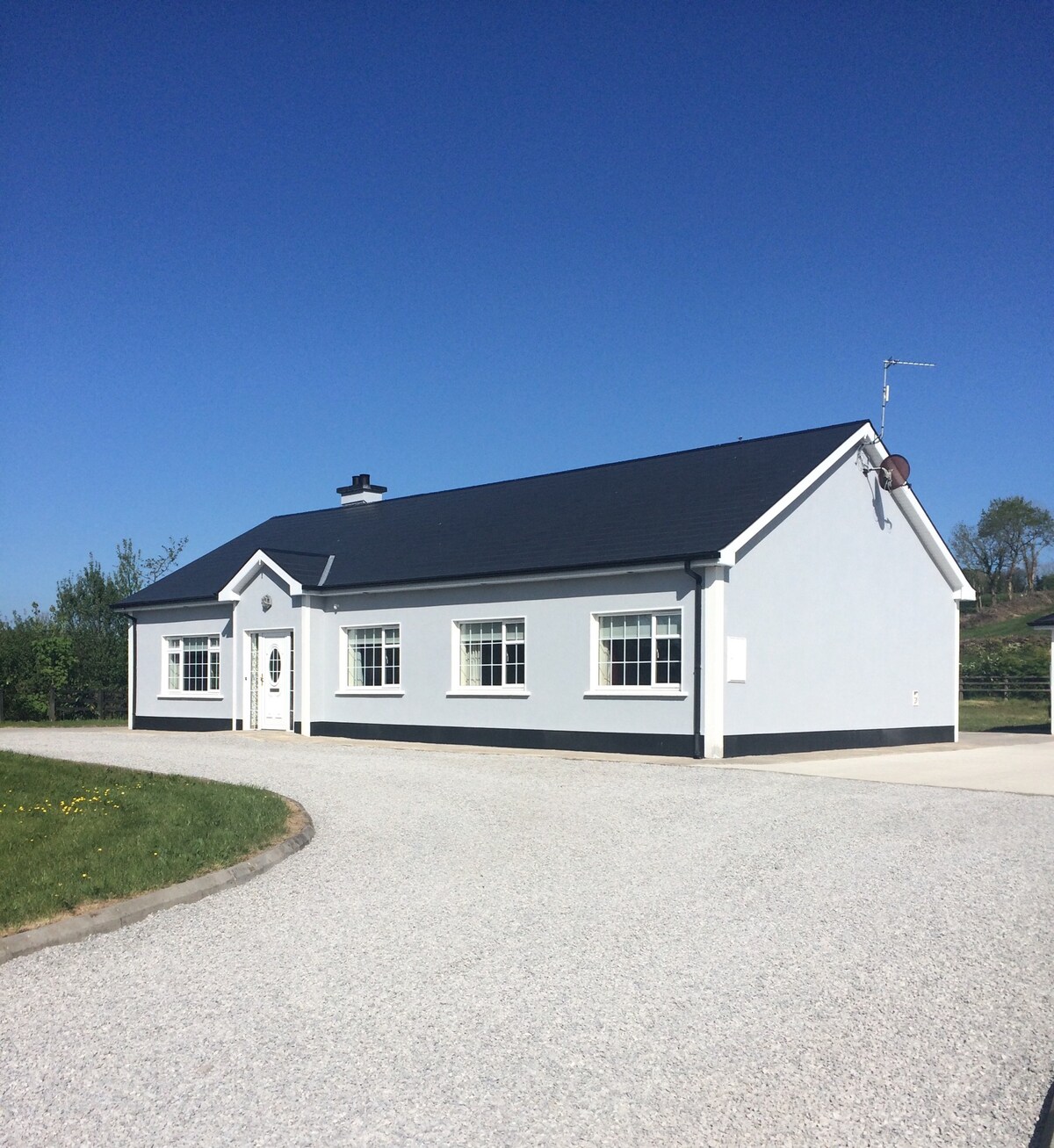 Enclosure in Conray (drumahaire By.)Enclosure · 1.2 mi
 Castle CarCastle · 1.8 mi
 Church (in Ruins)Church · 1.8 mi
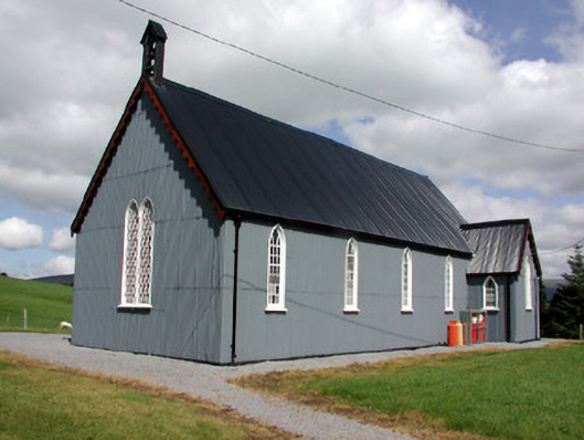 Lurganboy Church (Killasnet)church/chapel · 2.0 mi
 Giants RockNamed rock · 2.4 mi
 Longhill WoodForest · 2.8 mi
 Ashisland WoodForest · 2.9 mi
 Green IslandIslet · 3.1 mi
 Keelogyboy Mountain NE TopMountain / peak · 3.7 mi
 CastleCastle, tower house · 3.9 mi