What is recorded here
Marianne Rachlin owned Killeen, but the land kept its own boundary. She built rooms, laid floors and filled the house with music, yet the fort stood outside every agreement. People walked past it or forgot it entirely. What cannot be measured may still be true.
Situated on top of a hillock with slightly higher ground c. 200m to the SE. This is a circular grass-covered area defined by two low scarps (int. diam. c. 40m; ext. diam. c. 60m) and probably represents the remains of a bivallate rath. There is a stone and a single thorn tree in the centre. Access to this monument was denied. It is visible on the OSI images (2005) and Bing images (c. 2013).
Compiled by: Michael Moore
Date of upload: 29/04/2015
The monument record does not grant public access. Check the route and ask the landowner before entering private land.
- What survives
- Recorded monument
Places near here
 Enclosure in Tully (drumahaire By.)Enclosure · 600 yd
 St. Michaels ChurchChurch · 652 yd
 No indicatedFairy fort / earthen ringfort · 1235 yd
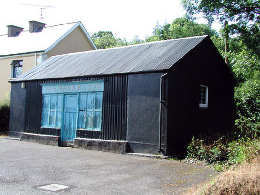 W.H. Parke and Sonshop/retail outlet · 1624 yd
 Old HallCastle, hall-house · 1.6 mi
 IndicatedBawn · 1.6 mi
 Green IslandIslet · 3.0 mi
 Cullentra ForestForest · 3.5 mi
 Trawane BayBay · 4.0 mi
 InnisfreeIslet · 4.1 mi
 SlishwoodWood · 4.4 mi
 Parke's CastleHeritage attraction · 4.5 mi