What is recorded here
Killavarrig holds a broken earthen ring above a stream, its south bank reduced to a low ridge while the north edge still rises two and a half metres. The gap faces northeast, inviting entry toward the light rather than hiding behind stone. People may have lived there before memory faded, shaping the sloping ground into a home where the soil itself became a wall.
In tillage, on S-facing slope above stream. Circular area (30m N-S; 33m E-W) enclosed by earthen bank (H 1.2m) W->ESE; scarp (H 2.5m) ESE->W. Gap (Wth 3m) in bank to NE. Interior raised on S side to compensate for hillslope.
The above description is derived from the published 'Archaeological Inventory of County Cork. Volume 1: West Cork' (Dublin: Stationery Office, 1992). In certain instances the entries have been revised and updated in the light of recent research.
Date of upload/revision: 14 January 2009
The monument record does not grant public access. Check the route and ask the landowner before entering private land.
- What survives
- Recorded monument
Places near here
 Cist in Killavarrig (carbery East (e.d) By.)Cist · 487 yd
 Argideen Loop WalksVisitor information · 513 yd
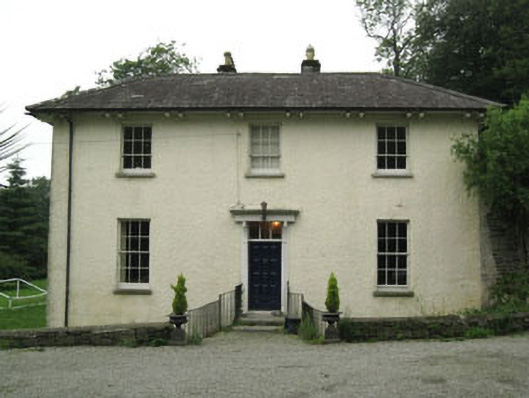 Glebe Houserectory/glebe/vicarage/curate's house · 937 yd
 Johnny Sheila MurphyMemorial · 962 yd
 TobernabantiernaHoly well · 964 yd
 Inchy Bridgebridge · 972 yd
 Argideen Valley trailVisitor information · 996 yd
 Timoleague CastleCastle, tower house · 1296 yd
 Timoleague AbbeyHeritage attraction · 1643 yd
 Burrane Castle (Site of)Castle, unclassified · 1686 yd
 Rail SignalHeritage attraction · 1.1 mi
 Kilnamanagh WoodWood · 1.2 mi