What is recorded here
Killathy holds a levelled fairy fort where a circular area still rises slightly above the pasture. People built or shaped that ring on a gentle south-facing slope, perhaps to keep livestock, shelter a family or mark a boundary, while local imagination later assigned it to fairies. The grass hides most of the ditch now, but the field remembers the shape of human hands and the patience of time.
In pasture, on gentle S-facing slope. Depicted as hachured circular enclosure (diam. c. 30m) on 1842, 1905 and 1935 OS 6-inch maps; fosse shown to NW on 1935 OS 6-inch map. Levelled; circular area (36m N-S) raised 0.35m above surrounding field level. Slight evidence for fosse as depression, difficult to trace due to long grass.
The above description is derived from the published 'Archaeological Inventory of County Cork. Volume 4: North Cork' (Dublin: Stationery Office, 2000). In certain instances the entries have been revised and updated in the light of recent research.
Date of upload/revision: 14 January 2009
The monument record does not grant public access. Check the route and ask the landowner before entering private land.
- What survives
- Recorded monument
Places near here
 Ring-ditch in Ballyhooly SouthRing-ditch · 1294 yd
 railway stationrailway station · 1425 yd
 Enclosure in Ballyhooly SouthEnclosure · 1429 yd
 Quarry in Commons (fermoy By., Litter Par.)Quarry · 1459 yd
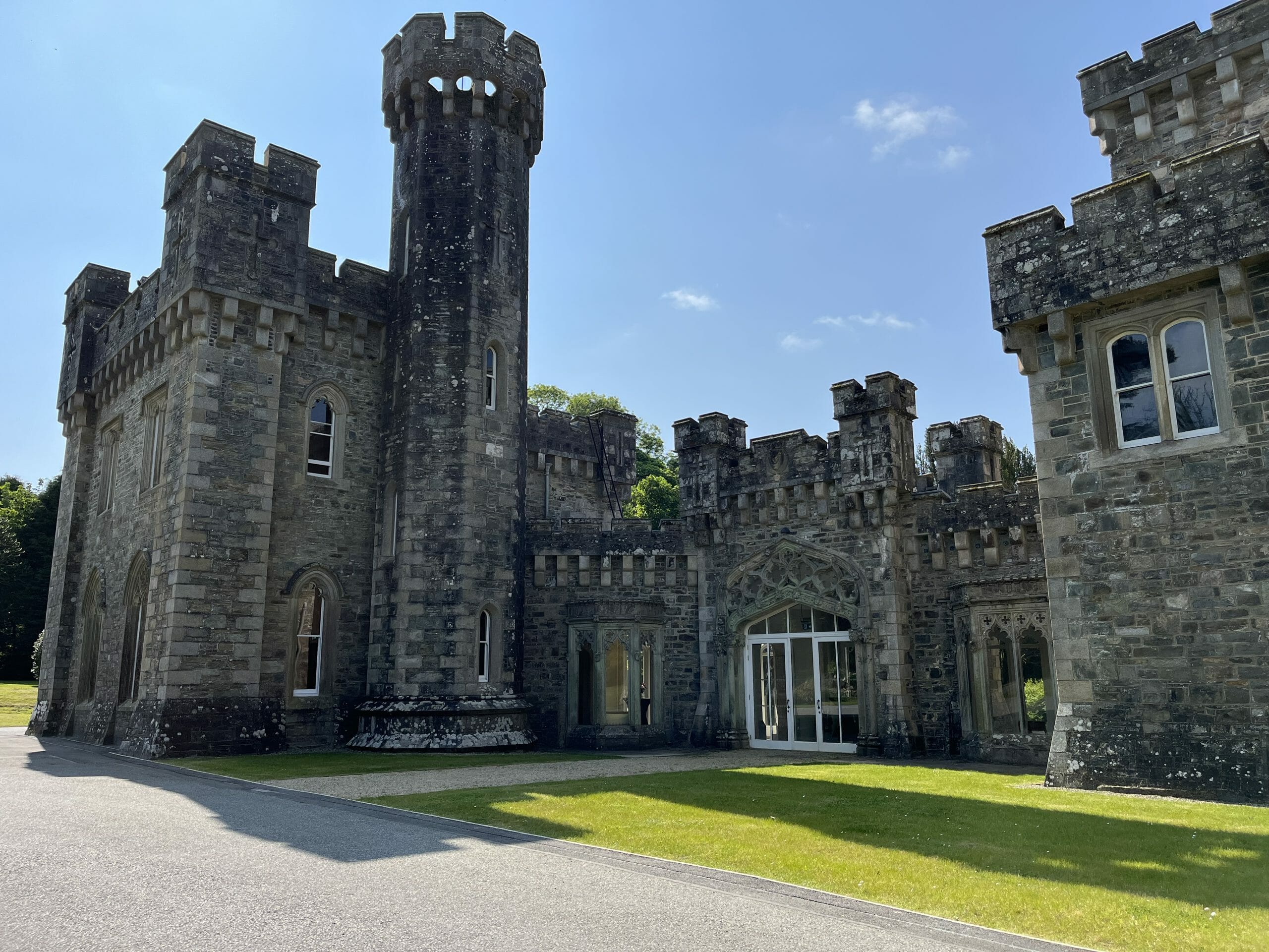 CastleCastle, unclassified · 1.3 mi
 Blackwater (Avondhu) WayWalking route · 1.8 mi
 Johnson's WoodForest · 1.9 mi
 Cregg Castle (in Ruins)Castle, tower house · 2.0 mi
 Priest's WoodForest · 2.1 mi
 Graveyard in BoherashGraveyard · 2.4 mi
 Liam BurkeMemorial · 3.4 mi
 Cappagh XViewpoint · 3.6 mi