What is recorded here
Killatee holds a forty-one-metre circular fortress built with two earthen banks and a waterlogged ditch. People walked the northeast causeway into the middle chamber, likely expecting privacy or protection. Modern quarrying destroyed much of the southeast perimeter and internal floor. The remaining western banks still outline the shape of a home that no longer exists.
Raised circular area (int. diam. c. 41m) enclosed by two substantial earthen banks with intermediate wide, deep, partly waterlogged fosse. Break in inner bank with accompanying causeway at NE represents original entrance. From NE-SE the perimeter and much of the internal area have been greatly disturbed by modern quarrying.
The above description is derived from the published 'Archaeological Inventory of County Cavan' (Dublin: Stationery Office, 1995). In certain instances the entries have been revised and updated in the light of recent research.
Date of upload/revision: 22 December 2008
The monument record does not grant public access. Check the route and ask the landowner before entering private land.
- What survives
- Recorded monument
Places near here
 St Patrick's Roman Catholic Churchchurch/chapel · 1148 yd
 Graveyard in Drumgoon (clankee By.)Graveyard · 1213 yd
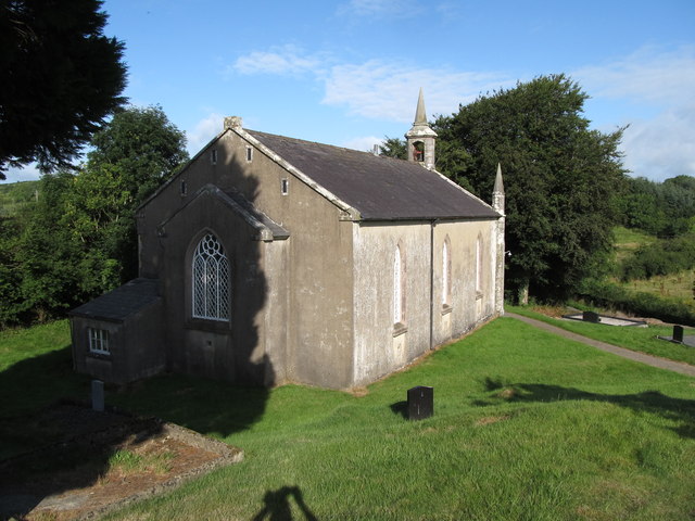 Dernakesh Church of Ireland Churchchurch/chapel · 1240 yd
 IndicatedFairy fort / earthen ringfort · 1.1 mi
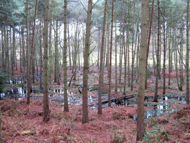 Lisdoagh Wet WoodlandWood · 1.4 mi
 Drumlumman Wet WoodlandWood · 1.6 mi
 Ann's FortArchaeological place · 2.0 mi
 DrumbinnisMountain / peak · 2.1 mi
 CornanurneyMountain / peak · 2.1 mi
 Giant's GraveArchaeological place · 2.4 mi
 Small IslandIsland · 2.9 mi
 CastleCastle, unclassified · 3.0 mi