What is recorded here
Killaghaduff holds a vanished ringfort where a slight earthen bank and faded ditch still mark a circular space twenty-one metres across. A graveyard presses close on three sides, as if the dead refused to leave the fort entirely. The field has levelled most of the work, but the outline survives enough to show that people lived, buried and forgot the place before it became a fairy story.
Davies (ITA Survey 1946) described it as a roughly circular area (int. dims. 21m N-S; 19m E-W) enclosed by a slight earthen bank and a poorly preserved fosse. Possible hut site within enclosed area at N. Bordered by a field boundary from W-NNW, and by a graveyard from NNW-N-NNE. Although largely levelled, outline of rath may still be traced.
The above description is derived from the published 'Archaeological Inventory of County Cavan' (Dublin: Stationery Office, 1995). In certain instances the entries have been revised and updated in the light of recent research.
Date of upload/revision: 22 December 2008
The monument record does not grant public access. Check the route and ask the landowner before entering private land.
- What survives
- Recorded monument
Places near here
 Church in ruinsChurch · 39 yd
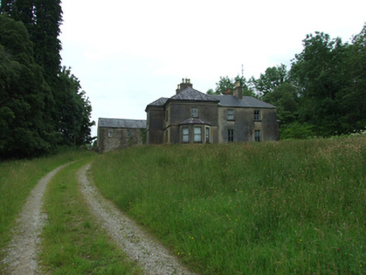 Tircahan Lodgefarm house · 1213 yd
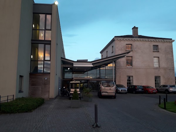 DrumbarMountain / peak · 1267 yd
 IndicatedFairy fort / stone ringfort · 1.3 mi
 A Tribute to the BorderbustersMemorial · 1.4 mi
 HawkswoodForest · 1.4 mi
 DrumconraMountain / peak · 1.5 mi
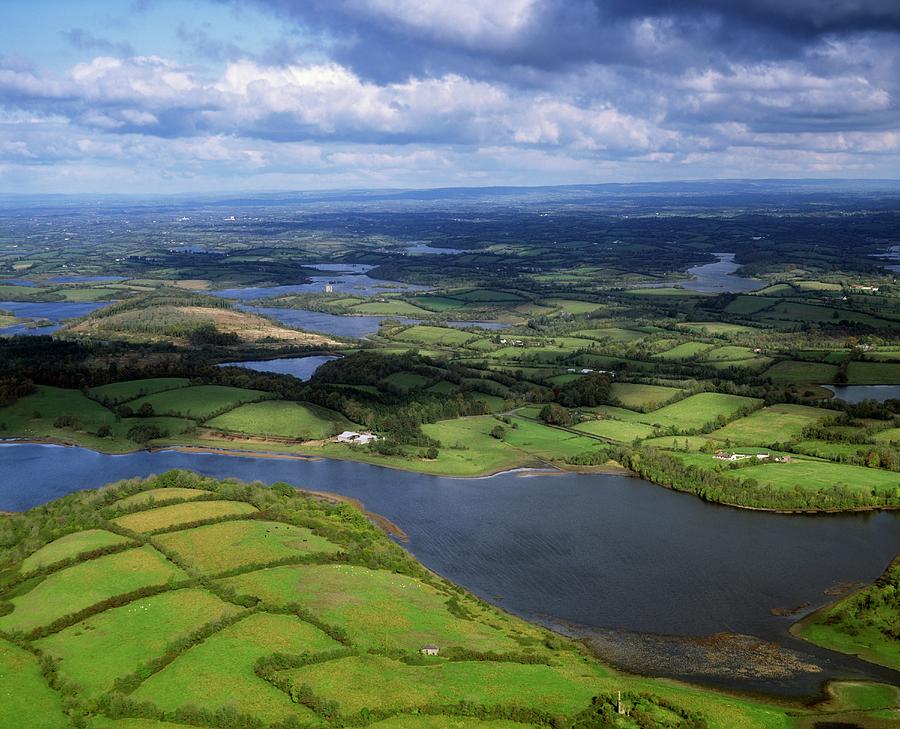 Gubnafarna Cuilcagh Anierin Uplands Special Area of ConservationWood · 1.8 mi
 Tory HoleCave · 1.9 mi
 Grainne's GraveArchaeological place · 1.9 mi
 Standing StoneArchaeological place · 2.1 mi
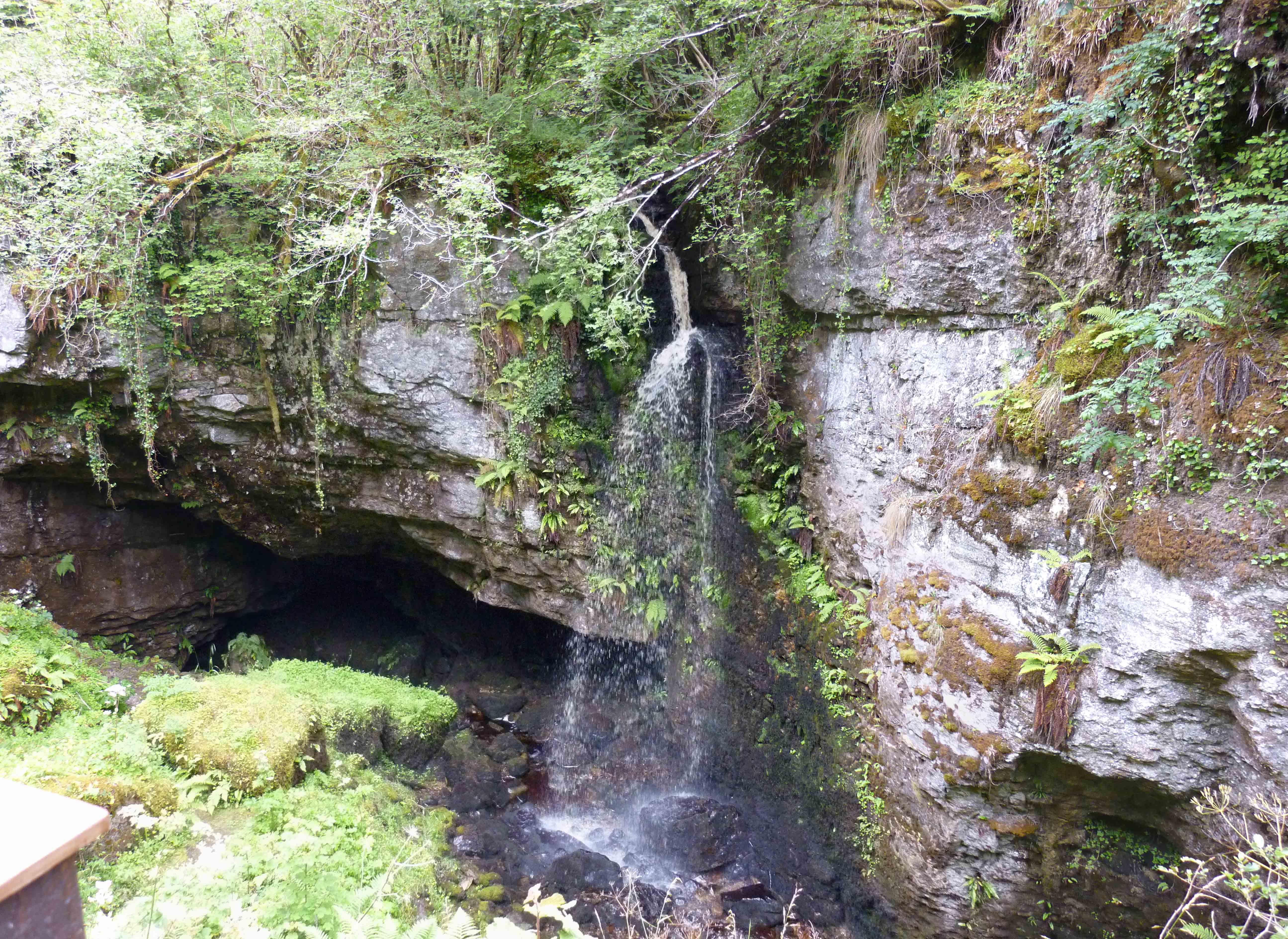 PollnagollumCave · 2.2 mi