What is recorded here
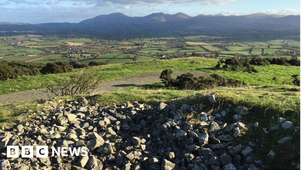
Half a metre of soil and a shallow ditch still mark the edge of a living room built before written memory. The fort sits twenty-six metres across on a south-facing slope in Kilkinnikin East, with two deliberate gaps where causeways once carried people, carts or fear into its center. The southern ground rises slightly, as if a chamber, hearth or hidden passage still holds its shape beneath the scrub. Fairy fort is the local name, but the measurements and doors suggest human hands, human urgency and a place proud enough to keep its outline against centuries of rain.
In scrub, on S-facing slope. Circular area (26.2m N-S; 26.1m E-W) enclosed by earthen bank (H 0.7m) and external fosse (D 0.6m). Gaps in bank to SE (Wth 1.2m) and SW (Wth 2m), with causeways. Interior higher in S quadrant; possible Man-made underground passage (CO127-009002-) to S.
The above description is derived from the published 'Archaeological Inventory of County Cork. Volume 1: West Cork' (Dublin: Stationery Office, 1992). In certain instances the entries have been revised and updated in the light of recent research.
Date of upload/revision: 14 January 2009
The monument record does not grant public access. Check the route and ask the landowner before entering private land.
- What survives
- Recorded monument
Places near here
 Burial ground in Kilkinnikin EastBurial ground · 326 yd
 Enclosure in Kilkinnikin EastEnclosure · 606 yd
 Cahermore 1st pebbled beachBeach / strand · 1126 yd
 Cahermore 2nd pebbled beachBeach / strand · 1273 yd
 Old Mine ShaftRuins · 1.2 mi
 Penitential station in BallydoneganPenitential station · 1.4 mi
 Serough IslandIslet · 1.8 mi
 Allihies Copper Mine MuseumMuseum · 1.9 mi
 Black RocksIslet · 2.0 mi
 KnockgourMountain / peak · 2.5 mi
 DooneenViewpoint · 2.6 mi
 LackacroghanMountain / peak · 2.7 mi