What is recorded here
Marianne and Denis watched the fort through the pasture, not as a dead shape but as a living edge. The bank was not complete, yet it still excluded part of the field and invited part of it in. She could feel the old boundary breathing beneath the grass, adjusting the life around it. What was missing had not stopped the fort existing.
In level pasture atop low rise. Circular area (34m E-W) enclosed by earthen bank (int. H 0.2m; ext. H 0.7m) with external fosse (D 0.2m; Wth 1.8m). Level interior partially covered by overgrowth as is most of enclosing element.
Compiled by: Denis Power
Date of upload: 26 August 2011
The monument record does not grant public access. Check the route and ask the landowner before entering private land.
- What survives
- Recorded monument
Places near here
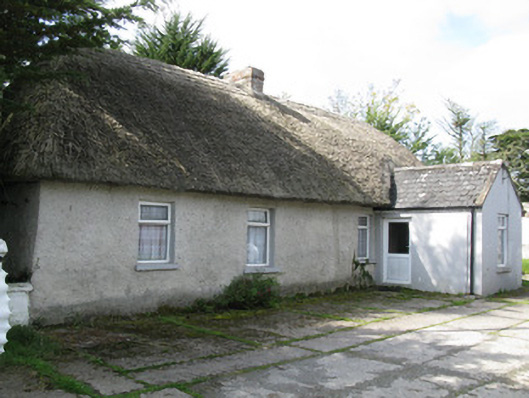 farm house, housefarm house, house · 143 yd
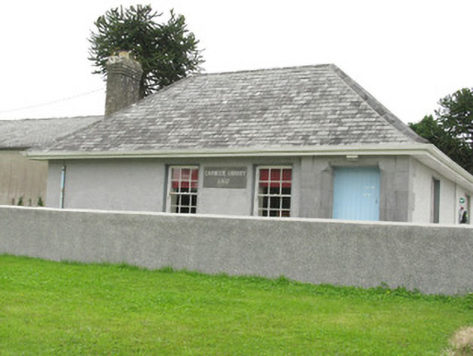 Cloncagh Carnegie Librarylibrary/archive · 868 yd
 Sunday WellSpring · 1042 yd
 Lady's WellSpring · 1086 yd
 Dotted outlineEcclesiastical enclosure · 1174 yd
 St Patricks WellHoly well · 1179 yd
 Ballynoe Castle (in ruins)Castle, tower house · 1.0 mi
 Mayne Ho.Castle, unclassified · 2.7 mi
 European ashEuropean ash · 2.8 mi
 Famine stoneMemorial · 5.0 mi
 Ballagh MountainMountain / peak · 8.5 mi
 Limerick GreenwayWalking route · 8.8 mi