What is recorded here
Kilgevrin holds a broken earthen ring beside the River Clare, its western bank erased by time or plough. The surviving curve suggests a small fortified home rather than a fairy dance floor, yet the loss of half its boundary invites imagination. A person may have stood inside that circle, watching water move or listening for danger, before the grass swallowed the mark.
In gently undulating grassland on E bank of the River Clare. Poorly perserved subcircular rath (N-S 31m, WSW-ENE 28.6m) defined by a bank, no visible surface trace of which survives from WSW to N. An enclosure (GA016-072----) lies c. 80m to SE.
The above description is derived from the published 'Archaeological Inventory of County Galway Vol. II - North Galway'. Compiled by Olive Alcock, Kathy de hÓra and Paul Gosling (Dublin: Stationery Office, 1999).
Date of upload: 05 August 2010
The monument record does not grant public access. Check the route and ask the landowner before entering private land.
- What survives
- Recorded monument
Places near here
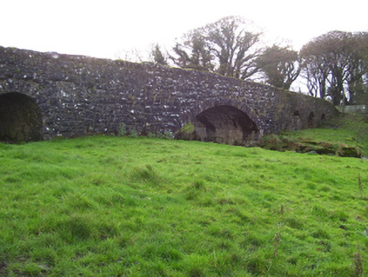 Liskeevy Bridgebridge · 196 yd
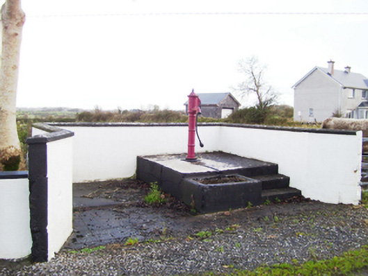 water pumpwater pump · 1164 yd
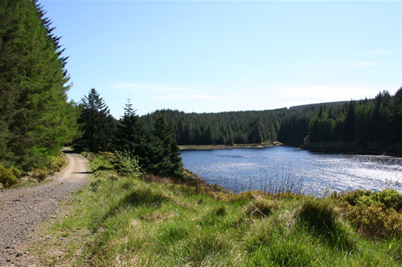 Structure in BanagherStructure · 1388 yd
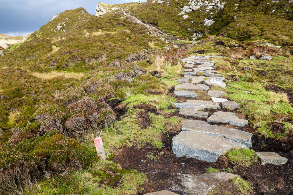 Mass-rock in LiskeevyMass-rock · 1536 yd
 Fartamore Castle (ruins)Castle · 1.6 mi
 Fartamore Castle in ruinsCastle, tower house · 1.6 mi
 European ashEuropean ash · 4.3 mi
 Mass RockNamed rock · 5.0 mi
 KnockmaaWood · 8.4 mi
 Ross Errilly FriaryHeritage attraction · 12 mi
 Otter IslandIslet · 15 mi
 Inis Mhic an TrírIsland · 15 mi