What is recorded here
Half a kilometre east, another ringfort still stands, but Kilgevrin has surrendered most of its shape to grass and time. What remains is a shallow crescent of earth on a slight rise, the kind of place where people once drew a line between inside and outside, then walked away. The fairies may have taken the rest, or simply never have existed at all.
On a rise in otherwise level grassland. Poorly preserved subcircular rath (NW-SE c. 30m) defined by two banks and an intervening fosse. The outer bank is present from SSW to W. No visible surface trace of the enclosing elements survives from NW through N to SE. A ringfort (GA016-069----) lies c. 350m to E.
The above description is derived from the published 'Archaeological Inventory of County Galway Vol. II - North Galway'. Compiled by Olive Alcock, Kathy de hÓra and Paul Gosling (Dublin: Stationery Office, 1999).
Date of upload: 05 August 2010
The monument record does not grant public access. Check the route and ask the landowner before entering private land.
- What survives
- Recorded monument
Places near here
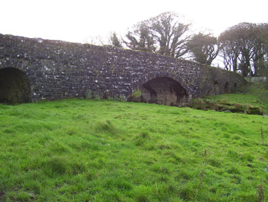 Liskeevy Bridgebridge · 652 yd
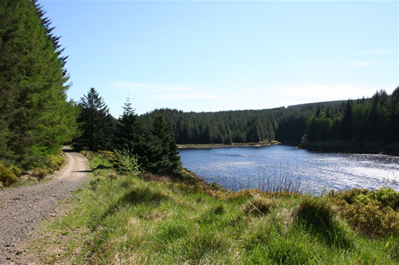 Structure in BanagherStructure · 989 yd
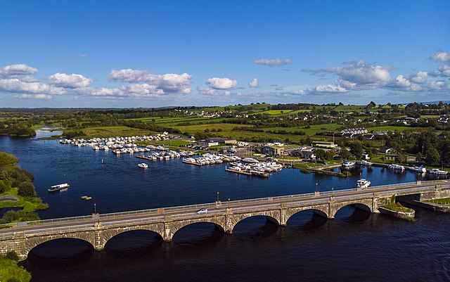 Banagher FortFairy fort / earthen ringfort · 1051 yd
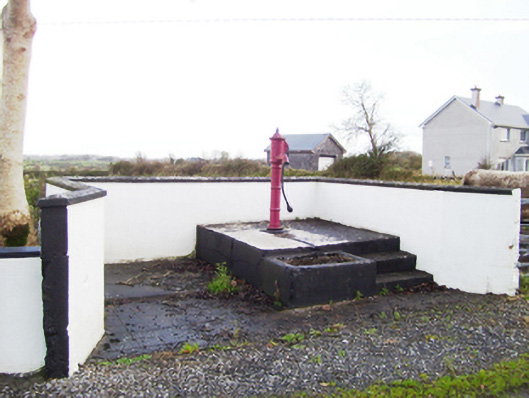 water pumpwater pump · 1637 yd
 Fartamore Castle (ruins)Castle · 1.7 mi
 Fartamore Castle in ruinsCastle, tower house · 1.7 mi
 European ashEuropean ash · 4.3 mi
 Mass RockNamed rock · 5.2 mi
 KnockmaaWood · 8.6 mi
 Ross Errilly FriaryHeritage attraction · 12 mi
 Otter IslandIslet · 15 mi
 Inis Mhic an TrírIsland · 16 mi