What is recorded here
Fairy fort / earthen ringfort in Kilgawny is a fairy fort or earthen ringfort in Kilgawny, County Westmeath, Ireland. It sits at the base of a south-southeast-facing slope, surrounded by low-lying marshy ground in undulating pasture with restricted views. The 1986 survey described it as a subcircular area enclosed by an earth and stone bank with an outer fosse, noting a possible causewayed entrance gap at the west. The bank is best preserved from north-northwest through north to north-northeast, while the interior features a south-southeast-facing slope crossed by cultivation ridges.
Situated at the base of a SSE-facing slope of rising ground, surrounded by low-lying marshy ground in otherwise undulating pasture with restricted views of the surrounding landscape. Depicted on the 1837 OS 6-inch map as a circular-shaped area (approx. dims. 57.5m N-S; 55m E-W) enclosed by a bank. Annotated 'fort' on the 1837 OS Fair Plan map. Depicted on the revised 1913 ed. OS 25-inch map as a modified, roughly oval-shaped area (approx. dims. 70m N-S; 55m E-W) defined by a scarp.
Described in 1986 as a subcircular-shaped area enclosed by an earth and stone bank with an outer fosse with possible causewayed entrance gap (Wth 2m) at W. The bank is best preserved from NNW-N-NNE, is slight from NNE-S and WNW-NNW and is reduced to a scarp from S-W-WNW. The fosse is best preserved from ESE-S-W-N and is infilled from N-E-ESE. The interior has a SSE-facing slope and is crossed by cultivation ridges. The NE quadrant is sectioned off by a low earth and stone bank, having stone facing in places. A low earth and stone bank running initially NE-SW extends from the exterior of the monument at NE. A preservation order was placed on this monument on the 24/04/1987 (SMR File). Monument visible today as an oval-shaped enclosure on Digital Globe aerial photography.
Compiled by: Alison McQueen, Vera Rahilly and Caimin O’Brien
Date of upload: 20 December 2018
The monument record does not grant public access. Check the route and ask the landowner before entering private land.
- What survives
- Recorded monument
Places near here
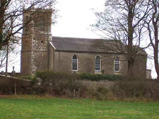 Saint Nicholas's Church (Ballymorin)church/chapel · 1065 yd
 Hachured, 420 ODCastle, motte · 1101 yd
 Partially hachuredFairy fort / ringfort · 1566 yd
 CastleCastle, tower house · 1595 yd
 Cross in BallymorinCross · 1682 yd
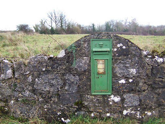 post boxpost box · 1.1 mi
 Ancient Ring FortWood · 2.0 mi
 Sessile OakSessile Oak · 3.4 mi
 Abbeyshrule AbbeyRuins · 4.9 mi
 Craft WorkshopHeritage attraction · 5.6 mi
 Guest ServicesVisitor information · 5.7 mi
 Goldsmith Birthplace, PallasVisitor information · 6.0 mi