What is recorded here
Fairy fort in Kilfinny: earthen ringfort, roughly 28 metres across, with a causeway entrance at the south-east and a farm track cutting through at north-east and south-west. People may have lived there before roads and fields rearranged the land, children included, though no name survives in the facts given. The bank still stands beside ordinary pasture, making the old boundary visible in a place now used for traffic and grass.
In pasture, on gentle S-facing slope, just below brow of low rise. Roughly circular area (28.15m N-S; 25.7m E-W) enclosed by earthen bank (int. H 0.55m; ext. H 1.9m) with external fosse (D 0.7m; Wth 2m). Interior, in pasture, is crossed by metalled farm track which cuts through enclosure's defences at NE and SW. Causeway entrance (Wth 4.9m) at SE. Gap (Wth 6.8m) in bank at NW. Site is enclosed by small rectangular field (c. 50m N-S; c. 40m E-W) the E and W boundaries of which overlie fosse on those sides.
Compiled by: Denis Power
Date of upload: 26 August 2011
See attached ASI aerial photographs ASIAP – taken on 04/03/2006.
The monument record does not grant public access. Check the route and ask the landowner before entering private land.
- What survives
- Recorded monument
Places near here
 Kilmacow Ho.Bawn · 662 yd
 Kilmacow Church (in ruins)Church · 690 yd
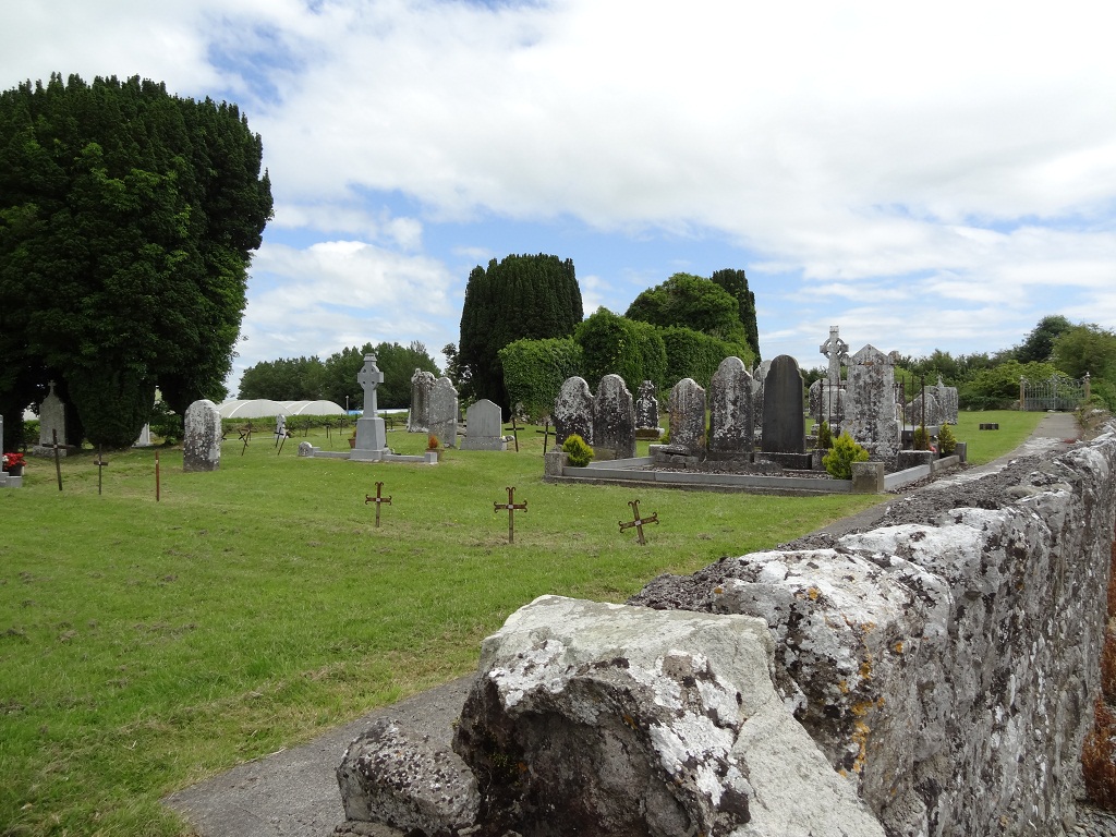 Enclosure in KilmacowEnclosure · 731 yd
 KilnKiln, lime · 1266 yd
 Ecclesiastical enclosure in KilmacowEcclesiastical enclosure · 1347 yd
 Kilfinny CastleCastle · 1411 yd
 Kinnoor WellSpring · 1.0 mi
 KnockfeerinaMountain / peak · 1.6 mi
 Famine stoneMemorial · 1.9 mi
 Flat cemetery in Kiltenan SouthFlat cemetery · 2.6 mi
 Dysert AenghusaHeritage attraction · 2.7 mi
 Biodiversity in the Maigue CatchmentVisitor information · 3.6 mi