What is recorded here
Kilcruit holds a circular earthwork forty-two metres across, bounded by a wide low bank rather than a stone wall. The soil rose fifteen decimetres above the outside ground and seven above the inside, shaping a shallow bowl where people may have lived, hidden or worshipped before the land forgot their names. A modern gap cuts the northern edge, but the rest of the ring remains unbroken beneath the grass.
The following description is derived from the published 'Archaeological Inventory of County Carlow' (Dublin: Stationery Office, 1993). In certain instances the entries have been revised and updated in the light of recent research.
Date of upload/revision: 17 July 2007
Circular area (diam. 42m) enclosed by wide low bank (ext. H at SW (downslope) 1.5m, int. H 0.7m). No visible surface traces of fosse or entrance. Modern gap at N.
A fairy fort, or earthen ringfort, in Kilcruit is a circular earthen enclosure typical of early-medieval Ireland, likely dating to between the 5th and 10th centuries. Local tradition associates such sites with the supernatural, often referring to them as dwellings of the fairies or ancient royal or chieftain settlements.
The monument record does not grant public access. Check the route and ask the landowner before entering private land.
- What survives
- Recorded monument
Places near here
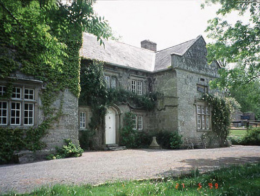 Kilgraney Schoolschool · 742 yd
 Enclosure in Kilgraney (idrone East By.)Enclosure · 859 yd
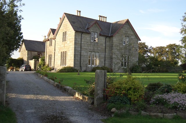 Lorum Rectoryrectory/glebe/vicarage/curate's house · 1124 yd
 Enclosure in Kilcumney (idrone East By.)Enclosure · 1350 yd
 Site of CastleCastle, unclassified · 1.3 mi
 Wych ElmWych Elm · 2.6 mi
 Church (in ruins), GraveyardChurch · 2.9 mi
 The Columban WayVisitor information · 3.1 mi
 Lock Keeper's House and Lodge MillsVisitor information · 3.1 mi
 Lord Galmoys Catle (in ruins)Castle, unclassified · 3.2 mi
 The Green GardenWood · 3.4 mi
 St. Mogarra’s WellSpring · 8.2 mi