What is recorded here
Kilcloghans held a twenty-five-metre earthen ring above local bogland, but human feet have since smoothed the boundary into ordinary grass. The fort disappeared from sight while keeping its shape in memory, waiting for rain or reckoning to reveal the circle again.
In grassland overlooking bogland to E. Marked on 1st ed. of OS 6-inch map as a roughly circular enclosure (D c. 25m). No visible surface trace survives.
The above description is derived from the published 'Archaeological Inventory of County Galway Vol. II - North Galway'. Compiled by Olive Alcock, Kathy de hÓra and Paul Gosling (Dublin: Stationery Office, 1999).
Date of upload: 05 August 2010
The monument record does not grant public access. Check the route and ask the landowner before entering private land.
- What survives
- Recorded monument
Places near here
 Cross in CarrownagarryCross · 702 yd
 water pumpwater pump · 709 yd
 Man-made underground passageMan-made underground passage · 852 yd
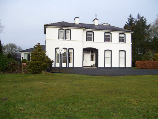 Gardenfield Househouse · 1040 yd
 European ashEuropean ash · 1.4 mi
 CastleCastle, unclassified · 1.7 mi
 Castle (in ruins)Castle, tower house · 2.6 mi
 Mass RockNamed rock · 3.2 mi
 KnockmaaWood · 5.9 mi
 Kilcoona Round TowerHeritage attraction · 9.7 mi
 Ballinduff BayBay · 12 mi
 monumentmonument · 1313 yd