What is recorded here
Kilbride’s fairy fort is a large, poorly preserved earthen ring on a slight pasture slope, its bank almost gone and its shallow ditch visible only as an intermittent vegetation band. A modern drain cuts through the middle, yet the sub-circular shape still measures sixty-one metres north-south and fifty-six metres east-west. People may have lived, hidden or marked territory there before ploughs and drainage turned the defence into a faint line across grass.
Visible on a 1970 aerial photograph (CUCAP BDL001). On a slight NW-facing pasture slope. A large, poorly preserved, sub-circular area (int diams. 61m N-S; 56m E-W) is defined by the remains of an almost totally ploughed out bank (int. H 0.05m) and the remnants of a very shallow outer fosse (D 0.10-0.2m), traceable intermittently as a vegetation band. A modern drain bisects the site N-S.
See attached image of Google Earth photograph taken 28/06/2018 which shows cropmark of the enclosure based on information supplied by Anthony Murphy
Compiled by: Gearóid Conroy
Date of upload: 10 June 2011
The monument record does not grant public access. Check the route and ask the landowner before entering private land.
- What survives
- Recorded monument
Places near here
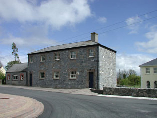 Newtown National Schoolschool · 355 yd
 Catholic Church of the Nativity of the Blessed Virgin Marychurch/chapel · 387 yd
 Enclosure in KilbrideEnclosure · 593 yd
 Enclosure in Newtown (cloncurry Ed)Enclosure · 781 yd
 MoatCastle, motte · 1.6 mi
 Old Bog Road made famous by Teresa Bryton 1868-1943Memorial · 2.0 mi
 Cloncurry GraveyardHeritage attraction · 2.3 mi
 European ashEuropean ash · 2.4 mi
 Cloncurry MoatCastle, motte · 2.4 mi
 The Grill ShackHeritage attraction · 3.1 mi
 Mass was there in Penal TimesMemorial · 3.1 mi
 Loughtown CovertWood · 4.1 mi