What is recorded here
Three house plots now cover the suboval earthworks, but the fort still breathes beneath their gardens. It faced west on a gentle slope, wide enough for a small community or a dangerous game, before Golf Links Road cut across its eastern edge. The fairies likely watched the surveyors draw its lines in 1938, knowing human houses would soon erase what moonlight had preserved.
On a gentle W-facing slope, now occupied by three house plots and abutting Golf Links Road and Castletroy Golf Course to E. Depicted on the revised 1938 ed. OS 25-inch map as a suboval-shaped area (approx. 60m NE-SW; 59m NW-SE). No longer visible on Google Earth orthoimage taken 26/05/2004 and Digital Globe orthophotos taken 2011-13.
See attached Google Earth orthoimage.
Compiled by: Alison McQueen and Vera Rahilly
Date of upload: 22 June 2020
The monument record does not grant public access. Check the route and ask the landowner before entering private land.
- What survives
- Recorded monument
Places near here
 Mary Magdalenes WellHoly well · 638 yd
 Not shownFulacht fia · 721 yd
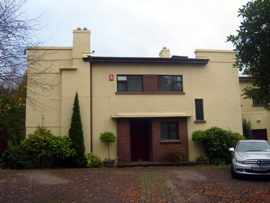 Cooltarahouse · 764 yd
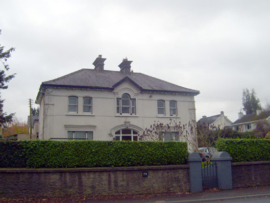 Castleview Househouse · 871 yd
 New CastleCastle · 891 yd
 University of Limerick FlagpostsHeritage attraction · 1236 yd
 Campus MapVisitor information · 1619 yd
 Visitor CentreVisitor information · 1638 yd
 Fountain SculptureHeritage attraction · 1714 yd
 St. Patrick's WellSpring · 1.5 mi
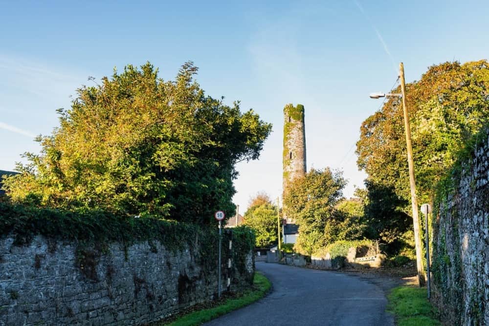 Round Tower (Site of)Castle, tower house · 1.5 mi
 Lough Derg WayWalking route · 1.6 mi