What is recorded here
Fairy fort in Kevit Upper OR Castlecosby, County Cavan, Ireland: a ploughed-out earthen ringfort with a 34m circular interior, bank and fosse, its west-southwest edge broken by a long narrow tree-planted bank and twin trenches. The entrance has vanished, but the circle still reads plainly across the ground. People may have lived, hidden or marked boundary there before memory thinned; the earth kept the shape while names and events wore away.
This rath has been ploughed out but its outline is clearly visible. It comprises a slightly raised circular area (int. diam. 34m) enclosed by an earthen bank and a fosse. From W-SSW the perimeter has been destroyed by a long, narrow bank with a trench on either side planted with trees. Original entrance not recognisable.
The above description is derived from the published 'Archaeological Inventory of County Cavan' (Dublin: Stationery Office, 1995). In certain instances the entries have been revised and updated in the light of recent research.
Date of upload/revision: 22 December 2008
This remains an important historical record, but the official description says the monument is no longer visible or has been destroyed. The monument record does not grant public access. Check the route and ask the landowner before entering private land.
- What survives
- No visible remains or recorded as destroyed
Places near here
 Castle CosbyCastle, unclassified · 497 yd
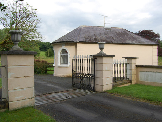 gate lodgegate lodge · 554 yd
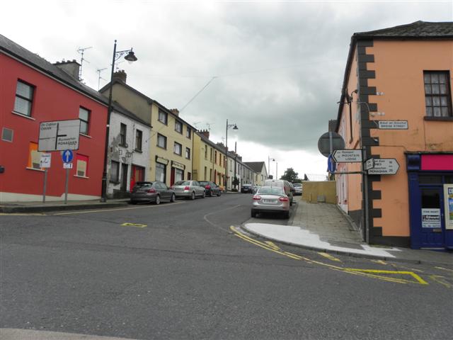 IndicatedFairy fort / earthen ringfort · 648 yd
 BellvilleMountain / peak · 916 yd
 Fleming's FollyForest · 1260 yd
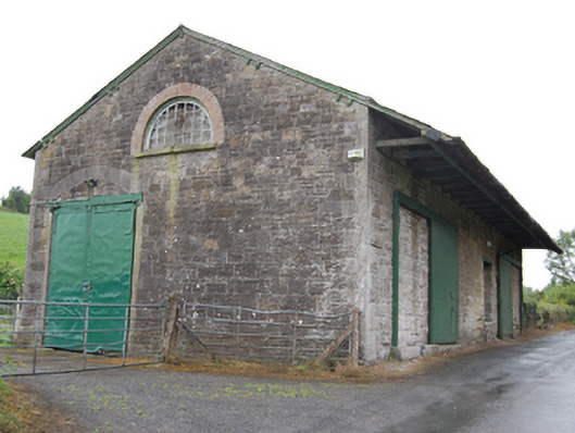 goods shedgoods shed · 1467 yd
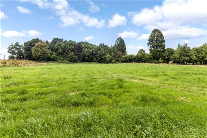 Drumbar ForestForest · 1.1 mi
 Lismore CastleCastle, unclassified · 1.1 mi
 Captain Thomas Sheridan IRAMonument · 1.2 mi
 DrumcarbanMountain / peak · 1.9 mi
 Carricknagore RockNamed rock · 2.9 mi
 Owen Roe O'Neill graveMemorial · 3.2 mi