What is recorded here
Castlecosby is a substantial earthen ringfort in County Cavan, Ireland, with a 45-metre diameter, deep fosse and an east-south-east entrance causeway. Its steep interior slope and broken bank suggest a place built to exclude as much as to include. Perhaps people entered by the causeway at dawn, carrying milk, tools or arguments, while the deep ditch kept wolves, thieves and careless children at bay. The fort still holds its shape because earth remembers the hands that piled it.
Raised circular area (int. dims. 45m NNE-SSW; 44.5m WNW-ESE) enclosed by a substantial earthen bank and a wide, deep fosse. Large break in the bank with accompanying causeway at ESE probably represents original entrance. Interior slopes quite steeply to SE.
The above description is derived from the published 'Archaeological Inventory of County Cavan' (Dublin: Stationery Office, 1995). In certain instances the entries have been revised and updated in the light of recent research.
Date of upload/revision: 22 December 2008
The monument record does not grant public access. Check the route and ask the landowner before entering private land.
- What survives
- Recorded monument
Places near here
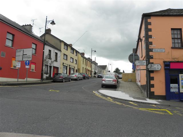 IndicatedFairy fort / earthen ringfort · 471 yd
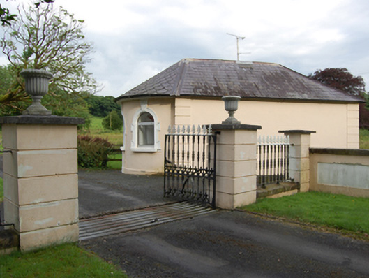 gate lodgegate lodge · 480 yd
 Castle CosbyCastle, unclassified · 617 yd
 BellvilleMountain / peak · 849 yd
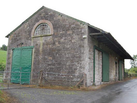 goods shedgoods shed · 1166 yd
 Fleming's FollyForest · 1203 yd
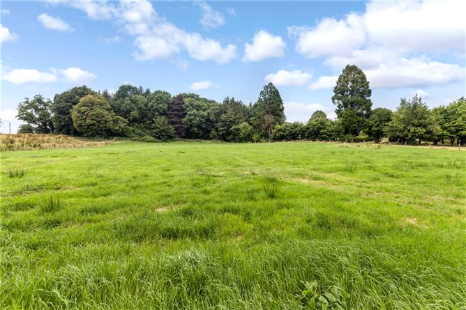 Drumbar ForestForest · 1740 yd
 Captain Thomas Sheridan IRAMonument · 1.0 mi
 Lismore CastleCastle, unclassified · 1.0 mi
 DrumcarbanMountain / peak · 1.7 mi
 Carricknagore RockNamed rock · 3.0 mi
 Cornafean GFCMemorial · 3.2 mi