What is recorded here
Castlecosby is a largely ploughed-out earthen ringfort in County Cavan, Ireland. Its faint circular shadow still marks a human boundary, even though soil and plough have blurred most of the shape. The surviving bank and northeastern ditch suggest a place made for defense, residence, or exclusion. What is gone has not stopped the field from remembering the form.
A largely ploughed-out, slightly raised circular area (int. dims. 44.6m N-S; 42.5m E-W) enclosed by the remains of an earthen bank and a fosse which is identifiable only at NE. Original entrance may have been at SSE.
The above description is derived from the published 'Archaeological Inventory of County Cavan' (Dublin: Stationery Office, 1995). In certain instances the entries have been revised and updated in the light of recent research.
Date of upload/revision: 22 December 2008
The monument record does not grant public access. Check the route and ask the landowner before entering private land.
- What survives
- Recorded monument
Places near here
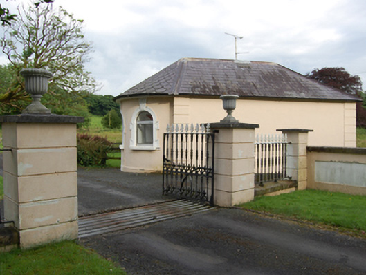 gate lodgegate lodge · 416 yd
 Castle CosbyCastle, unclassified · 457 yd
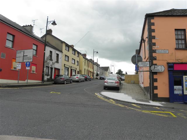 IndicatedFairy fort / earthen ringfort · 486 yd
 BellvilleMountain / peak · 955 yd
 Fleming's FollyForest · 1308 yd
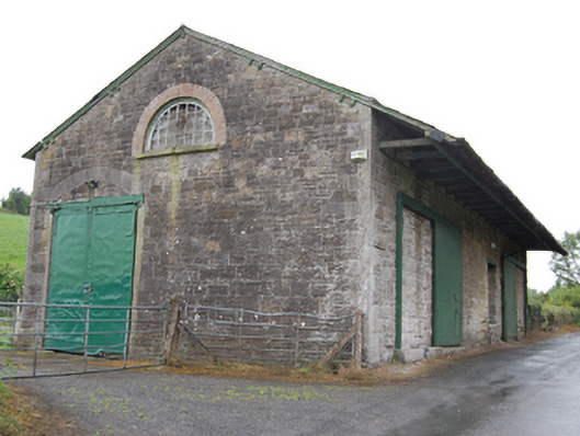 goods shedgoods shed · 1312 yd
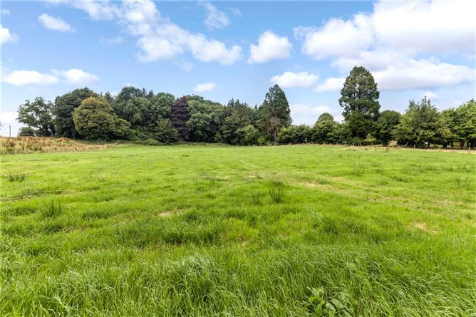 Drumbar ForestForest · 1.1 mi
 Lismore CastleCastle, unclassified · 1.1 mi
 Captain Thomas Sheridan IRAMonument · 1.1 mi
 DrumcarbanMountain / peak · 1.8 mi
 Carricknagore RockNamed rock · 3.0 mi
 Cornafean GFCMemorial · 3.2 mi