What is recorded here
Kevit Lower holds a broad earthen ring where a deep eastern ditch and southern causeway still mark the entrance. People once lived inside that circular bank, likely building rooms, storing food and watching the land. Whether a hidden passage truly runs beneath the soil remains uncertain, but the fort itself is real and waiting to be walked.
An almost circular raised area (int. dims. 42m E-W; 37m N-S) enclosed by a substantial earthen bank and a fosse which is exceptionally wide and deep at E. Break in bank at S with accompanying causeway probably represents original entrance. Davies (ITA Survey 1942) notes that 'there is said to be a Man-made underground passage in this fort' (CV025-062002-).
The above description is derived from the published 'Archaeological Inventory of County Cavan' (Dublin: Stationery Office, 1995). In certain instances the entries have been revised and updated in the light of recent research.
Date of upload/revision: 22 December 2008
The monument record does not grant public access. Check the route and ask the landowner before entering private land.
- What survives
- Recorded monument
Places near here
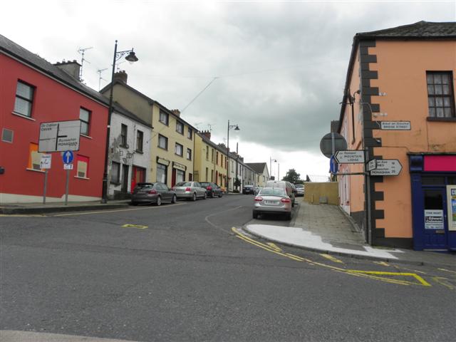 IndicatedFairy fort / earthen ringfort · 522 yd
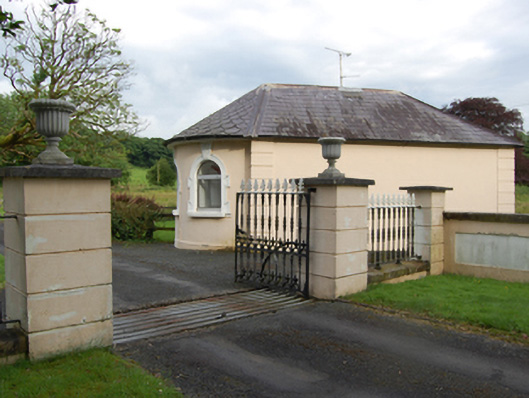 gate lodgegate lodge · 598 yd
 BellvilleMountain / peak · 779 yd
 Castle CosbyCastle, unclassified · 795 yd
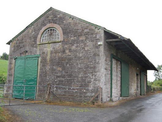 goods shedgoods shed · 1017 yd
 Fleming's FollyForest · 1125 yd
 Coolnacarrick ForestForest · 1613 yd
 Captain Thomas Sheridan IRAMonument · 1643 yd
 Lismore CastleCastle, unclassified · 1.0 mi
 DrumcarbanMountain / peak · 1.6 mi
 Carricknagore RockNamed rock · 3.0 mi
 Cornafean GFCMemorial · 3.2 mi