What is recorded here
Keilagh holds a broken oval of earth thirty-seven metres long, its twin banks and ditches flattened by time or plough. The southern entrance remains the clearest marker of the shape, pointing to the place where people entered or fled. The fairy fort name suggests local people believed the structure belonged to something older and less reasonable than human history.
Raised oval area (int. dims. 37m NNE-SSW; 32m WNW-ESE) enclosed by two earthen banks with outer fosses. The inner bank and fosse have been largely levelled as have the outer bank and fosse from N-E-SSW. Original entrance was probably at S.
The above description is derived from the published 'Archaeological Inventory of County Cavan' (Dublin: Stationery Office, 1995). In certain instances the entries have been revised and updated in the light of recent research.
Date of upload/revision: 22 December 2008
The monument record does not grant public access. Check the route and ask the landowner before entering private land.
- What survives
- Recorded monument
Places near here
 Drumbagh ForestForest · 1039 yd
 schoolschool · 1431 yd
 Tober PatrickHoly well · 1438 yd
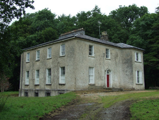 Kildallan Glebe Houserectory/glebe/vicarage/curate's house · 1668 yd
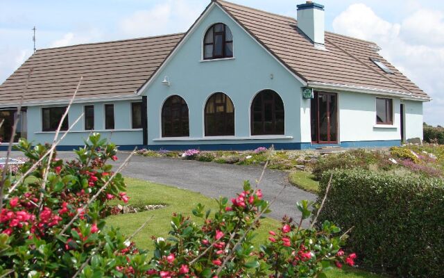 Drom Mullac HouseArchaeological place · 1668 yd
 ClonkeenMountain / peak · 1.0 mi
 Aghnacreevy WoodWood · 1.2 mi
 Evlagh MoreMountain / peak · 1.7 mi
 Killeshandra Irish Countrywomen's Association 70th AnniversaryMemorial · 2.0 mi
 IndicatedCastle, unclassified · 2.5 mi
 Drumlane AbbeyHeritage attraction · 3.1 mi
 Woodenhouse BayBay · 3.7 mi