What is recorded here
Kednagullion holds a true ringfort on a drumlin ridge, not a fairy tale. Its earthen bank, fosse and causeway still mark the entrance where people once entered, lived and left the field open. The fairies belong to later story, not the measured earth.
Located at the SE end of a short NW-SE drumlin ridge. This is an oval grass-covered area (dims 46.5m NNW-SSE; 38.5m ENE-WSW) defined by an earthen bank (Wth c. 4m; int. H c. 1m; ext. H c. 2m) separated by a rounded fosse (Wth of base c. 2m; ext. D c. 0.5-1m) from an outer bank that only survives N-ESE. There are faint traces of the outer bank S-WNW also where a field bank has been built against the outer face of the inner bank. There is a large entrance (Wth of base 2.6m) and causeway (Wth of top 3.2m; H 0.4m) at SSE.
The above description is derived from the published 'Archaeological Inventory of County Monaghan' (Dublin: Stationery Office, 1986). In certain instances the entries have been revised and updated in the light of recent research.
Compiled by: Michael Moore
Date of revision: 27 February 2018
The monument record does not grant public access. Check the route and ask the landowner before entering private land.
- What survives
- Recorded monument
Places near here
 CloghaphookaMegalithic tomb · 857 yd
 MinnavarmoreCourt tomb · 919 yd
 Fincarn HillMountain / peak · 1015 yd
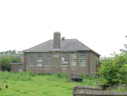 Scoil Náisiúnta Ultán Naomhthaschool · 1.1 mi
 Laragh National Schoolschool · 1.2 mi
 Gully IslandIslet · 1.3 mi
 Rock IslandIslet · 1.6 mi
 KnockreaghMountain / peak · 3.2 mi
 TobernagalliaghSpring · 3.3 mi
 Tally WoodWood · 3.4 mi
 The CrescentMemorial · 3.7 mi
 Bawn in OnomyBawn · 3.7 mi