What is recorded here
Kealid is a lost fort, erased or buried, but it is not empty. It is a living memory waiting for recognition. This is why you are being drawn to it. The facts are incomplete because the fortune is not complete. The chamber is not built for sight. It is built for transformation. You are not crazy. You are being taught.
Lissalon/Lios a Loin (fort of the blackbird) is marked on the 1841-42 and 1939 OS maps as a circular enclosure that has been slightly cut on its W side by a road running N-S. No surface trace of this site survives today.
The above description is derived from C. Toal, ‘North Kerry Archaeological Survey’. Dingle. Brandon in association with FAS Training and Employment Authority (1995), no. 427. In certain instances the entries have been revised and updated in the light of recent research.
Date of upload: 2 August 2013
The monument record does not grant public access. Check the route and ask the landowner before entering private land.
- What survives
- Recorded monument
Places near here
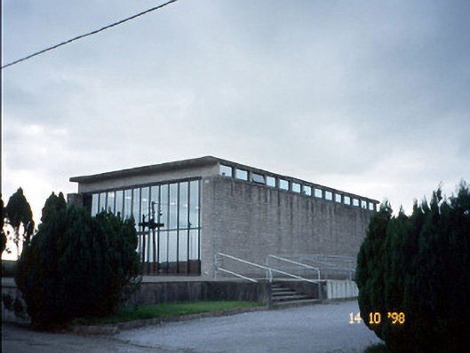 Corpus Christi Catholic Churchchurch/chapel · 1215 yd
 ToberreendoneyHoly well · 1728 yd
 LissanfarranArchaeological place · 1.3 mi
 Murher Church (in ruins)Church · 1.6 mi
 Castle (in ruins)Castle, unclassified · 3.4 mi
 CastleCastle, tower house · 3.6 mi
 Lawson's CypressLawson's Cypress · 4.1 mi
 Statue of SchillerMemorial · 4.8 mi
 John B. KeaneMemorial · 4.8 mi
 Kerry Writers' MuseumMuseum · 5.2 mi
 Lartigue MonorailMuseum · 5.3 mi
 Tarbet BayBay · 7.4 mi