What is recorded here
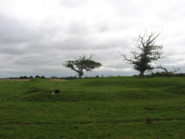
Fairy fort in Irishtown is a hidden earthen ring, not a fantasy claim. Its shallow ditch and two entrance gaps still mark the ground beneath ordinary fields. People may have lived there, farmed there, or abandoned it when the land changed. The fairies are only the name left behind when the human story faded.
Situated on a level landscape. The cropmark of a subcircular enclosure (int. dims c. 45m E-W; c. 40m N-S) defined by a single fosse (Wth c. 1-2m) is visible on aerial photographs (OSAP: 1995). There is an entrance gap (Wth c. 3) at W and another (Wth c. 5m) at ESE. It is also visible on Bing (2013) (Pers. com. Colin Byrne) and on Apple Maps which utilises a survey conducted by Bluesky International during June 2018. On the Apple Maps image a trench (L c. 23m ENE-WSW) lies inside the fosse at S and enters it at SSW. Its greatest width (c. 2m) is at the E end where it turns N and it could be a Man-made underground passage (ME028-059001-).
See the attached aerial view from Apple Maps
compiled by: Michael Moore
Date of upload: 7 February 2020
The monument record does not grant public access. Check the route and ask the landowner before entering private land.
- What survives
- Recorded monument
Places near here
 St. Peter's Chapel MoymurthyArchaeological place · 496 yd
 ChapelChurch · 498 yd
 Ben HeadCliff · 551 yd
 Holy well in Irishtown (duleek Upper By., Moorechurch Par.)Holy well · 680 yd
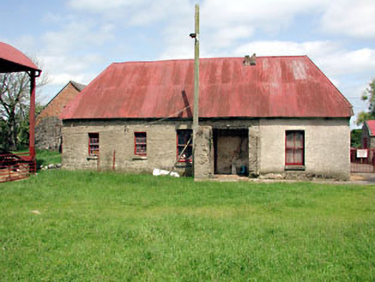 farm housefarm house · 1.0 mi
 SycamoreSycamore · 1.3 mi
 European YewEuropean Yew · 1.4 mi
 Gormanston CastleCastle · 1.4 mi
 Ballygarth CastleCastle · 2.0 mi
 Battle of Julianstownbattle · 2.3 mi
 Clonard SpringSpring · 3.4 mi
 Balbriggan Tourist OfficeVisitor information · 3.7 mi