What is recorded here
That is the end of the evidence. You can keep it as fact, not as a story about a real person.
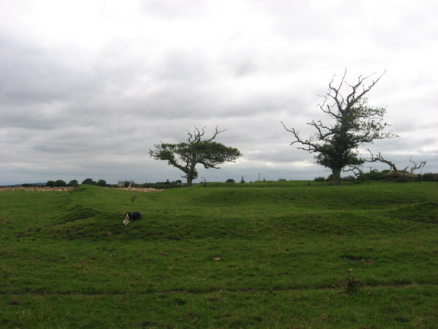
A circular crompark (diam. c. 30m) defined by a single fosse feature and an entrance gap at SE is visible on an aerial photograph (OSAP, 1995). it is also faintly visible on Bing (2013). (Pers com. Tom Condit)
Compiled by: David O’Connor
Date of revised upload: 15 September 2017
A fairy fort, or earthen ringfort in Irishtown, is a circular early-medieval defensive or agricultural enclosure, likely dating to between the 6th and 10th centuries. Local tradition associates such sites with fairy folklore, suggesting they were homes of the "good people" or portals to the Otherworld.
The monument record does not grant public access. Check the route and ask the landowner before entering private land.
- What survives
- Recorded monument
Places near here
 Ben HeadCliff · 563 yd
 ChapelChurch · 630 yd
 St. Peter's Chapel MoymurthyArchaeological place · 637 yd
 Holy well in Irishtown (duleek Upper By., Moorechurch Par.)Holy well · 992 yd
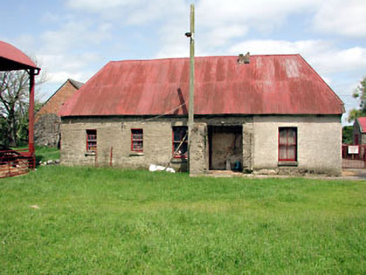 farm housefarm house · 1489 yd
 SycamoreSycamore · 1.1 mi
 European YewEuropean Yew · 1.3 mi
 Gormanston CastleCastle · 1.3 mi
 Ballygarth CastleCastle · 2.2 mi
 Battle of Julianstownbattle · 2.5 mi
 Clonard SpringSpring · 3.2 mi
 Balbriggan Tourist OfficeVisitor information · 3.5 mi