What is recorded here
Mortons and others still call it a fairy fort, but the measured facts describe an earthen ringfort: a circular pasture space thirty-three and a half metres across, enclosed by a bank one and a half metres high, with an overgrown ditch on the north side and a possible three-metre gap to the west. The south interior was built two metres higher than the north, leveling a sloping field instead of waiting for nature to decide the shape of the room. People may have kept animals there, stored what the land gave, or simply drawn a line around the place they claimed. The fairies may have arrived later, filling the hole in the story with everything the forgetters refused to remember.
In pasture, on S-facing slope. Circular area (diam. 33.5m) enclosed by earthen bank (H 1.4m) with overgrown fosse to N. Possible entrance (Wth 3m) to W. Interior level; raised (H 2m) on S side to compensate for downhill slope.
The above description is derived from the published 'Archaeological Inventory of County Cork. Volume 2: East and South Cork' (Dublin: Stationery Office, 1994). In certain instances the entries have been revised and updated in the light of recent research.
Date of upload/revision: 14 January 2009
The monument record does not grant public access. Check the route and ask the landowner before entering private land.
- What survives
- Recorded monument
Places near here
 Man-made underground passage in Gearagh (imokilly By.)Man-made underground passage · 930 yd
 Enclosure in Ballynacorra EastEnclosure · 945 yd
 IndicatedKiln, lime · 1082 yd
 Castle (in Ruins)Castle, tower house · 1565 yd
 Ardvillinggate lodge · 1.1 mi
 Edward BransfieldMemorial · 1.4 mi
 Castle Redmond (Site of)Castle, unclassified · 1.9 mi
 Ballyannan (Bluebell) WoodsForest · 1.9 mi
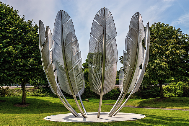 Kindred SpiritsMemorial · 2.0 mi
 Noel Collins BridgeVisitor information · 2.0 mi
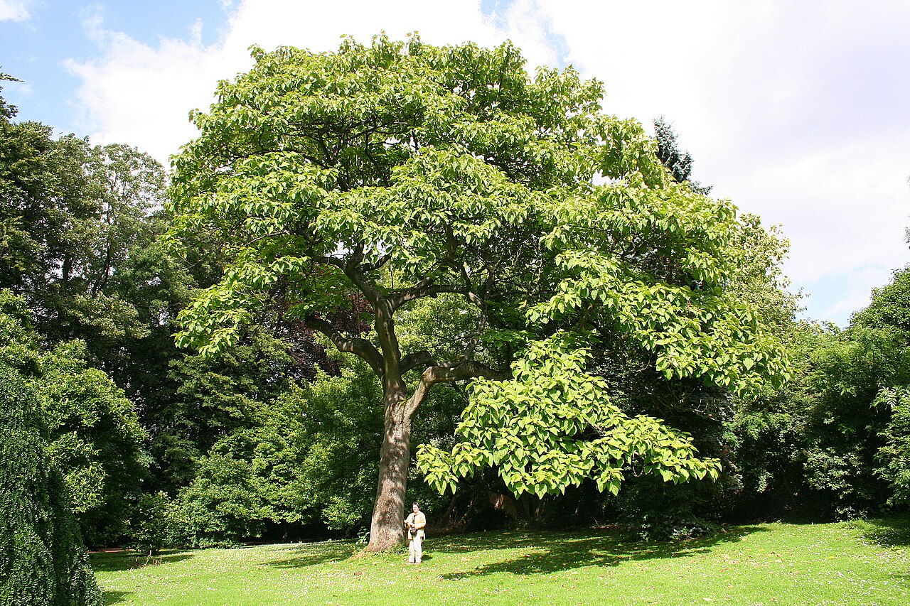 PrincesstreePrincesstree · 2.0 mi
 Jameson Distillery MidletonHeritage attraction · 2.2 mi