What is recorded here
Fairy fort / earthen ringfort in Inishmulclohy OR Coney Island is a fairy fort or earthen ringfort in Inishmulclohy OR Coney Island, County Sligo, Ireland. The oval earthwork sits on a small headland above a sandy bay, with a low grass-covered bank and a partial limestone facing at the northeast edge. A later field fence cuts through the northern bank, while a broad outer rise and a small semi-circular stone feature remain nearby in the pasture.
In pasture, located on gently elevated ground on a small headland bordered by a rocky shoreline, on the NW side of Coney Island. The headland defines the N end of a small bay with a sandy shoreline. There are good views to S over this bay and to W and N across Sligo Bay. Oval area (24m SW-NE; 19m NW-SE) defined by a low, grass-covered bank. The bank (Wth 1.7-2m) is almost flush with interior ground level, but has a low external scarp (H 0.35-0.5m). At NE−SE there is an external stone facing of large, limestone blocks, 1-2 courses high (H 0.2-0.4m). A few large stones protruding from the sod on the inner face of the bank at NNE may also be remnants of stone facing. At N−NE the bank is incorporated into, or truncated by, a later NW−SE field fence. At S a gap (Wth 2m) intervenes between the inner bank and a low, outer bank. At SW−NW the gap/possible fosse (Wth 3-3.5m) is broader but not significantly sunken, and the outer bank is evident as a broad low grass-covered rise or undulation (Wth c. 2.5-3m). These outer enclosing elements are truncated at N−NE by the later field fence, and are not evident in the field to N of the fence. The SW quadrant of the interior appears slightly raised, defined on its E edge by a low scarp (H c. 0.3m) which extends from the enclosing bank at S through the interior for c. 12m to NNE then peters out. It gives the raised area the appearance of being a roughly rectangular platform (c. 6m E−W; c. 9-12m N−S). It may represent the remnants of a hut site (SL013-001001-). Alternatively the scarp may be remnants of a field bank which bisected the rath. A low grass-covered field bank abuts the outer bank at S and extends 18m to SW of the rath, then changes directions and continues downslope to SSE for c. 15m, ending at the shoreline. Located 8m SW of the rath, is a small semi-circular feature (diam. 2m N−S) defined by a low, sod-covered bank (Wth 1.2m; H 0.2-0.25m) which curves S−NNE. A small, partly sod-covered heap of stones lies within the confines of the arc. The date and function of this feature is unknown.
Compiled by: Jane O'Shaughnessy
Date of upload: 25 July 2017
A fairy fort or earthen ringfort on Coney Island, likely dating to the early medieval period, is situated on a small headland with views over a sheltered bay. Local tradition associates such sites with fairy lore, reflecting their mystical status in Irish folklore.
The monument record does not grant public access. Check the route and ask the landowner before entering private land.
- What survives
- Recorded monument
Places near here
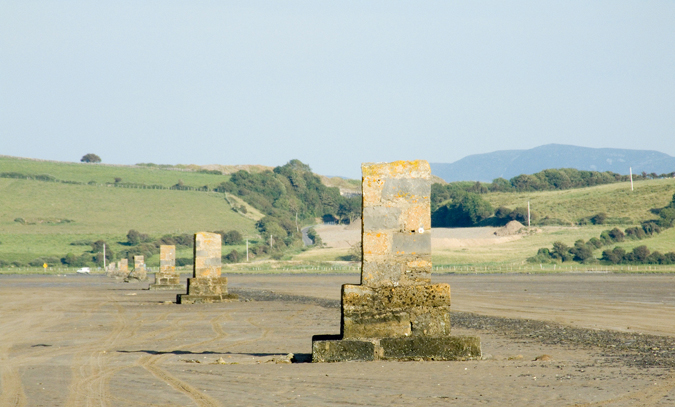 Enclosure in Inishmulclohy OR Coney IslandEnclosure · 759 yd
 Coney IslandIsland · 778 yd
 Bastioned fort in Inishmulclohy OR Coney IslandBastioned fort · 1408 yd
 The Metal Manbeacon · 1580 yd
 Maguins IslandIslet · 1717 yd
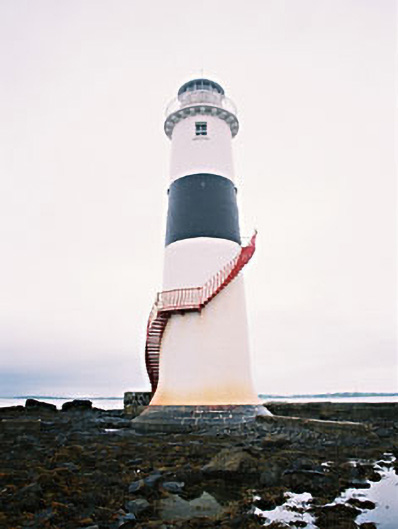 Black Rock Lighthousebeacon · 1734 yd
 Rosses Point BeachBeach / strand · 1.1 mi
 Doonanpatrick IslandIslet · 1.2 mi
 Graveyard in KillaspugbroneGraveyard · 1.2 mi
 Killaspugbrone GraveyardRuins · 1.2 mi
 Drumcliff BayBay · 2.0 mi
 SuperHeritage attraction · 2.0 mi