What is recorded here
Inchagreenoge holds a broken earthen ring where cattle still trample the boggy centre and briars strangle the bank. The fort measures thirty metres across, yet its southeast gap yawns two metres wide, inviting animals and ghosts alike to cross without permission. Humans may have built the ridge into a boundary, but the land has since reclaimed the shape, turning a defended home into a feeding trough for livestock and memory.
In undulating pasture, at S end of low N-S ridge. Roughly circular area (29.9m N-S) enclosed by earthen bank (int. H 1m; ext. H 1.7m), with external fosse (D 0.25m; Wth 1.7m) NE->ESE. Bank heavily eroded by cattle accessing interior and in many places overgrown with briars and bushes; largest gap (Wth 2.2m) is at SE. Interior level except SE quadrant where it slopes down gently towards gap; interior surface boggy and heavily poached by cattle. Field boundary clearance material has been dumped in E quadrant.
Compiled by: Denis Power
Date of upload: 26 August 2011
The monument record does not grant public access. Check the route and ask the landowner before entering private land.
- What survives
- Recorded monument
Places near here
 Fulacht fia in InchagreenogeFulacht fia · 362 yd
 Burnt mound in RobertstownBurnt mound · 446 yd
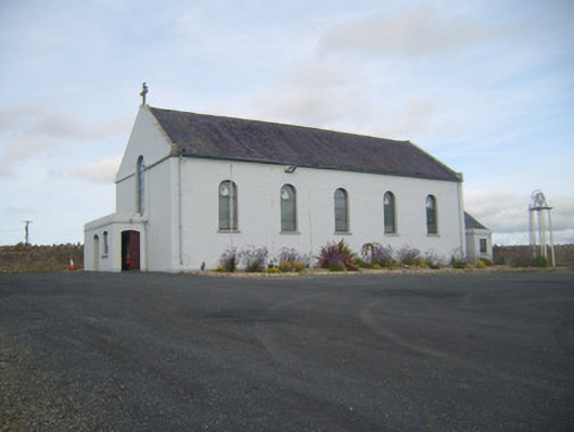 Saint Senan's Catholic Churchchurch/chapel · 922 yd
 Robertstown Church (in ruins)Church · 1148 yd
 Robertstown Castle (in ruins)Castle, tower house · 1298 yd
 Dysert Castle (in ruins)Castle, tower house · 1.6 mi
 Foynes Flying Boat & Maritime MuseumMuseum · 1.9 mi
 Foynes Island ViewpointViewpoint · 2.1 mi
 Gammarel PointHeadland · 2.2 mi
 Foynes IslandIsland · 2.6 mi
 Battery PointHeadland · 2.8 mi
 Monterey CypressMonterey Cypress · 3.1 mi