What is recorded here
No fairy is named in the facts, but a ringfort is a human fort: a circular earthworks in pasture atop a hill in County Cork, partly quarried and still standing with stone facing on the outer bank. The measure is small enough to walk, yet the shape is deliberate: a boundary made flesh from soil, a place for life, defense, memory or loss.
In pasture, atop hill. Circular area (44m N-S; 43.5m NW-SE) enclosed by earthen bank (int. H 0.6m; ext. H 1.6m) SE->NE; external fosse (D 0.5m) SE->NNW. Bank quarried away NE->SE and interior quarried into for a max. distance of 13m. Remains of stone facing on external bank face. Break (Wth1.5m) in bank to NNE. Deciduous trees in interior.
The above description is derived from the published 'Archaeological Inventory of County Cork. Volume 4: North Cork' (Dublin: Stationery Office, 2000). In certain instances the entries have been revised and updated in the light of recent research.
Date of upload/revision: 14 January 2009
The monument record does not grant public access. Check the route and ask the landowner before entering private land.
- What survives
- Recorded monument
Places near here
 Rath (Site of)Fairy fort / earthen ringfort · 410 yd
 Fulacht fia in ImoganeFulacht fia · 568 yd
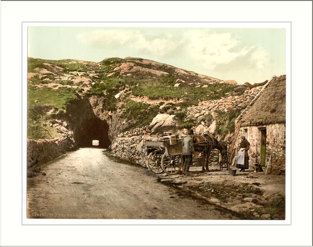 Quarry in ClashelaneQuarry · 852 yd
 Templeconnell Castle (in Ruins)Castle, tower house · 1041 yd
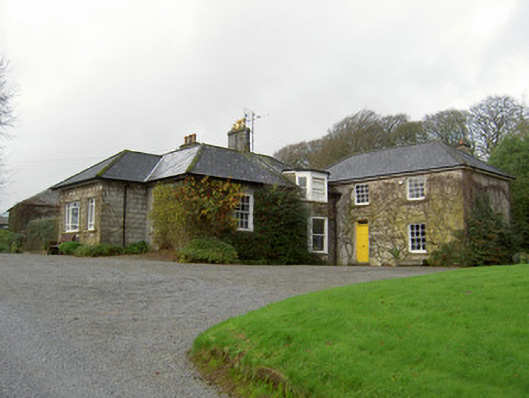 Egmont Cottagehouse · 1091 yd
 Churchtown TrailsVisitor information · 1117 yd
 CarrigadoonCastle, unclassified · 1635 yd
 Ballyhoura WayWalking route · 1.4 mi
 Buttevant Rail DisasterMemorial · 1.9 mi
 Windmill HillMountain / peak · 2.1 mi
 Lady's WellSpring · 2.4 mi
 David HurleyMemorial · 2.5 mi