What is recorded here
Mnemo is a circular enclosure on a south-facing slope in Imogane, with a low bank and shallow outer ditch still visible in pasture and aerial images. It may have been a home, a boundary marker, or a place where people gathered beneath open sky. The grass hides more than it reveals, but the shape remains clear enough to imagine life moving through it.
In pasture, on S-facing slope. Depicted as hachured circular raised area (diam. c. 35m) on 1937 OS 6-inch map. Circular area (41.6m N-S; 40.6m E-W) enclosed by low rise (max. H 0.5m); shallow external fosse (max. D 0.9m) NW->N. Inner bank height barely traceable; on W and N side exists as slope down towards centre of interior. Circular enclosure visible as cropmark of bank and external fosse in aerial photograph (GSIAP, R687), with possible entrance to NE.
The above description is derived from the published 'Archaeological Inventory of County Cork. Volume 4: North Cork' (Dublin: Stationery Office, 2000). In certain instances the entries have been revised and updated in the light of recent research.
Date of upload/revision: 14 January 2009
The monument record does not grant public access. Check the route and ask the landowner before entering private land.
- What survives
- Recorded monument
Places near here
 Fulacht fia in ImoganeFulacht fia · 407 yd
 Rath (Site of)Fairy fort / earthen ringfort · 528 yd
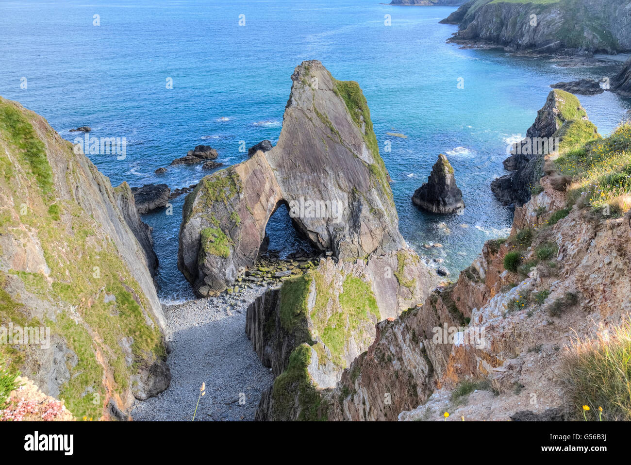 Quarry in ClashelaneQuarry · 801 yd
 Templeconnell Castle (in Ruins)Castle, tower house · 864 yd
 Churchtown TrailsVisitor information · 1174 yd
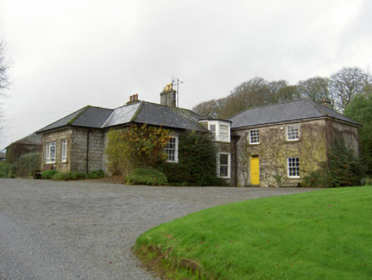 Egmont Cottagehouse · 1298 yd
 CarrigadoonCastle, unclassified · 1542 yd
 Ballyhoura WayWalking route · 1.5 mi
 Buttevant Rail DisasterMemorial · 1.8 mi
 Windmill HillMountain / peak · 2.2 mi
 Lady's WellSpring · 2.4 mi
 David HurleyMemorial · 2.4 mi