What is recorded here
Fairy fort in Hurcle, County Meath: a faint earthen ring, about forty-two metres across, set on a south-east slope. Its single ditch still touches old field drains, and a wide gap faces east-north-east, as if the circle waited for someone to enter. Local people may have lived inside, or simply avoided it after dark.
Situated on a SE-facing slope. The faint and uncertain cropmark of a subcircular enclosure (diam. c. 42m N-S) defined by a single fosse is visible on aerial photograph (CUCAP: BGL 20) from the 1970s. It is also visible on Apple Maps, which utilises a survey conducted by Bluesky International during June 2018 and on this image an entrance (Wth c. 8m) is visible at ENE. The fosse is connected with the drains of unmapped field banks that approach from the WSW and NNW, and at S a short drain connects it with a NE-SW field drain from a bank that is depicted on the 1836 and 1907 editions of the OS 6-inch map. The rath is visible again on Google Earth (21/07/2021).
See the attached enhanced aerial view from Apple Maps
The above description is derived from the published 'Archaeological Inventory of County Meath' (Dublin: Stationery Office, 1987). In certain instances the entries have been revised and updated in the light of recent research.
Compiled by: Michael Moore
Date of upload: 10 July 2007
Amended: 27 January 2020, 30/08/2021
The monument record does not grant public access. Check the route and ask the landowner before entering private land.
- What survives
- Recorded monument
Places near here
 Hurcle HillMountain / peak · 706 yd
 Irish Military Museum And ParkMuseum · 1042 yd
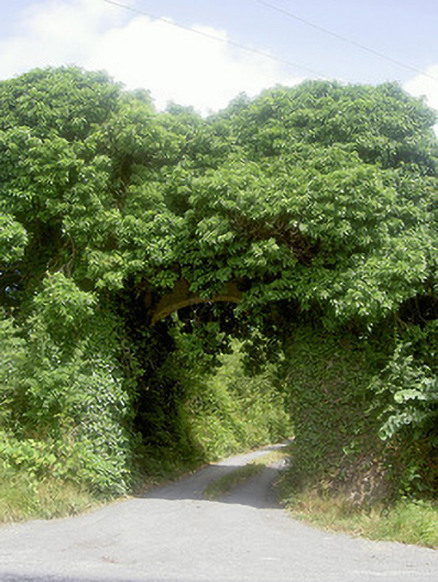 Monasterboice Housedemesne walls/gates/railings · 1174 yd
 Pedunculate OakPedunculate Oak · 1383 yd
 Drummond TowerCastle · 1498 yd
 European ashEuropean ash · 1668 yd
 St. Bernards ChapelChurch · 1691 yd
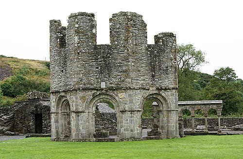 Mellifont AbbeyHeritage attraction · 1744 yd
 Enclosure in BarabonaEnclosure · 1.5 mi
 Fulacht fia in CoolforeFulacht fia · 1.7 mi
 BarabonaMountain / peak · 1.7 mi
 Proudfootstown CastleCastle, unclassified · 3.1 mi