What is recorded here
Hoddersfield holds a broken fairy fort, a semicircular earthen ring thirty-two metres wide on a north-facing slope. O'Leary called it a small circular lios within the demesne of Hossersfield House, yet no line remains west of the field boundary. The land may have swallowed half the enclosure, leaving only a ridge for cattle to grind against and people to forget.
In tillage, on N-facing slope. Slightly raised, semicircular area N->S (diam. 32m N-S) delimited on W side by N-S field boundary. No visible surface trace of enclosure to W side of field boundary. May be enclosure mentioned by O'Leary (1918-9, 83), a 'small circular lios within the demesne of Hossersfield House'; not depicted on OS 6-inch map.
The above description is derived from the published 'Archaeological Inventory of County Cork. Volume 2: East and South Cork' (Dublin: Stationery Office, 1994). In certain instances the entries have been revised and updated in the light of recent research.
Date of upload/revision: 14 January 2009
The monument record does not grant public access. Check the route and ask the landowner before entering private land.
- What survives
- Recorded monument
Places near here
 Slab-lined burial in HoddersfieldSlab-lined burial · 216 yd
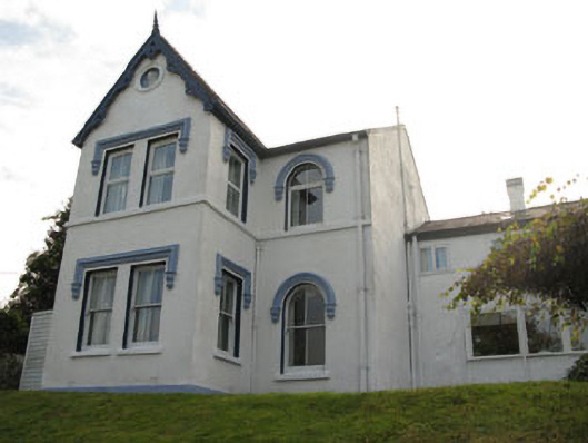 Ardnalee Househouse · 431 yd
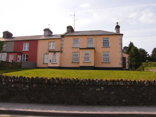 Crosshaven Garda Stationcoastguard station · 600 yd
 Crosshaven Tourist OfficeVisitor information · 1102 yd
 Castle (Site of)Castle, unclassified · 1484 yd
 Curraghbinny WoodsForest · 1486 yd
 St Bridgets WellHoly well · 1513 yd
 William Warren Baldwin plaqueMemorial · 1522 yd
 The Giant's GraveMonument · 1551 yd
 Coolmore WoodWood · 1714 yd
 Castle (in Ruins)Castle, tower house · 1.2 mi
 Fennells Bay beachBeach / strand · 1.3 mi