What is recorded here
Haremount holds a circular earthen ring, twenty-eight metres wide, where a limekiln still embeds the south-east bank and cattle break the north-east ridge. The fort sits on a south-facing slope in pasture, marked by a water-filled depression to the south-west and a field boundary skirting the north-west. It is not a distant ruin but a living boundary, shaping grass, rain and animal movement along its ancient line.
In pasture, on S-facing slope. Circular area (28m E-W; 26m N-S) defined by earthen bank (int. H 1m; ext. H 1.2m) NW->ESE; scarp elsewhere. Evidence of external fosse survives to SSW as shallow water-filled depression. Remains of limekiln in bank to SE; cattle break across bank to NE. Field boundary skirts enclosure to NW.
The above description is derived from the published 'Archaeological Inventory of County Cork. Volume 3: Mid Cork' (Dublin: Stationery Office, 1997). In certain instances the entries have been revised and updated in the light of recent research.
Date of upload/revision: 14 January 2009
The monument record does not grant public access. Check the route and ask the landowner before entering private land.
- What survives
- Recorded monument
Places near here
 Kilmichael Monumentmonument · 847 yd
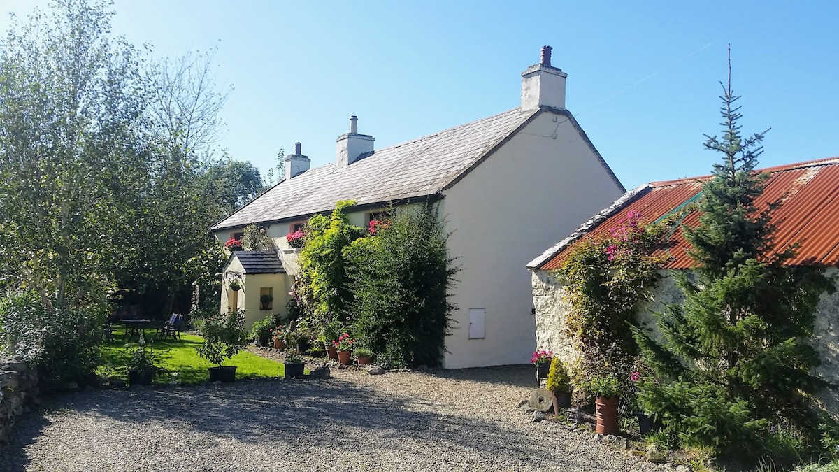 LismangeruFairy fort / earthen ringfort · 1006 yd
 Kilmichael Ambush SiteMonument · 1053 yd
 Kilmichael Ambushambush · 1054 yd
 Man-made underground passage in Johnstown (muskerry West By.)Man-made underground passage · 1401 yd
 Carrigboy Castlehouse · 2.0 mi
 Carrignacurra CastleCastle · 2.6 mi
 Castle (Site of)Castle, unclassified · 2.7 mi
 Gortnahoughtee Mass RockNamed rock · 4.1 mi
 Port Ban Nature Reserve, Irish Wildlife TrustNature reserve · 4.4 mi
 Castle RockNamed rock · 5.1 mi
 The Gearagh Nature ReserveNature reserve · 5.3 mi