What is recorded here
Fairy fort in Harding Grove, County Limerick. In 1840 the Ordnance Survey drew an oval platform with a scarp, but by 1897 the fort had vanished, levelled into pasture. Yet in 2002 and 2020 aerial photos still showed its shadow, a ghost oval pressed into the soil beneath the grass. The fort stopped being a fort for people, but it never stopped existing.
In pasture, 16m E of N20 and 86m W of townland boundary with Lackanagrour and Cooleen. Harding Grove House lies 300m to SW and an enclosure (LI039-003----) lies 172m to NE. Depicted on the 1840 ed. OSi 6-inch map as a an oval-shaped platform defined by a scarp with field boundary immediately to S and building 35m to SSE. Not marked on 1897 ed. OSi 25-inch map, indicating that the monument was levelled between these dates. In 1840 the Ordnance Survey recorded this monument as one of '2 ancient forts’ in the townland (OSNB Abbeyfeale to Bruree, 269). Cropmark of monument visible as an oval-shaped area (dims. c. 30m NW-SE; 27m NE-SW) on OSi orthophotograph taken between 2005-12 and on Google Earth orthoimage taken 20/09/2020. Outline of monument clearly visible on aerial photographs (ASIAP (322) 8, 9) taken 05/10/2002.
See attached Google Earth orthoimages and ASIAP aerial.
Compiled by: Fiona Rooney
Date of upload: 10 April 2021
The monument record does not grant public access. Check the route and ask the landowner before entering private land.
- What survives
- Recorded monument
Places near here
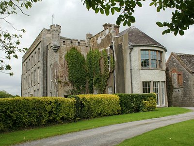 Enclosure in Harding GroveEnclosure · 494 yd
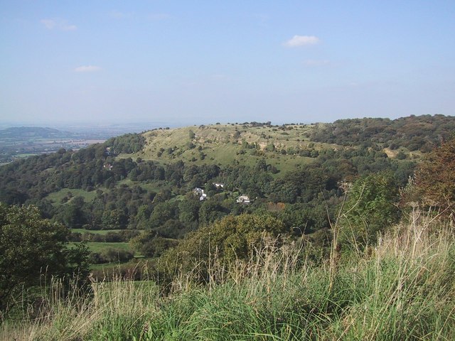 BarrowBarrow, ring-barrow · 670 yd
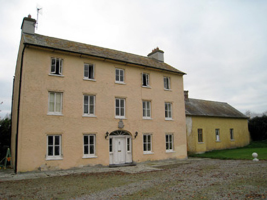 Cooleen Housebridge, country house · 962 yd
 Church (in ruins)Church · 1215 yd
 Athlacca Ho. (in ruins)Castle, unclassified · 1.6 mi
 Bruree Castle Lower (in ruins)Castle, Anglo-Norman masonry castle · 1.9 mi
 European ashEuropean ash · 4.0 mi
 Monasteranenagh AbbeyHeritage attraction · 4.5 mi
 Biodiversity in the Maigue CatchmentVisitor information · 4.7 mi
 KnockfeerinaMountain / peak · 5.0 mi
 Dysert AenghusaHeritage attraction · 5.1 mi
 Saint Derivla's WellSpring · 5.2 mi