What is recorded here
Half of the fort is gone, not lost. The remaining curve still stands eighty centimetres high beside its shallow ditch, while the missing part has become a border for a conifer plantation. The field marks around it suggest people lived there long before the trees arrived. What the forest took, it did not erase; it only stopped the story being told in an open voice.
Field inspection carried out by Séamus Ó Murchú, Archaeologist, Forest Service, DAFM who described the site as following. Located in upland area with modern coniferous plantation immediately to N. Enclosure visible on OSi orthophoto taken 2005-12, with relic field system (LA019-011004-) visible to S and W of enclosure. Outline of monument and enclosing fosse is clearly visible on Digital Globe orthoimage taken 2011-13. Enclosing fosse clearly visible on Google earth orthoimage taken 08/03/2020. Relic field system (LA019-011004-) located to E, S and W of enclosure is clearly visible on Google Earth orthophoto taken 20/11/2005. Present remains consist of a low circular-shaped platform (int. diam. c. 35m NW-SE; 32m NE-SW; H 0.8m) enclosed by a low bank only visible from E-S and reduced to a scarp elsewhere with an external fosse (max. Wth c. 6m; ext. D 0.2m) best preserved at SE. No entrance feature visible.
See attached photo courtesy of Séamus Ó Murchú and Google earth orthoimage
Compiled by: Caimin O'Brien based on details provided by Séamus Ó Murchú
Date of upload: 7 September 2020
The monument record does not grant public access. Check the route and ask the landowner before entering private land.
- What survives
- Recorded monument
Places near here
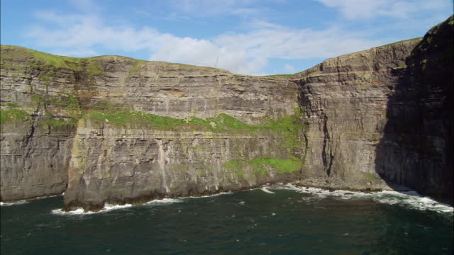 Cliff-edge fort in BallypriorCliff-edge fort · 508 yd
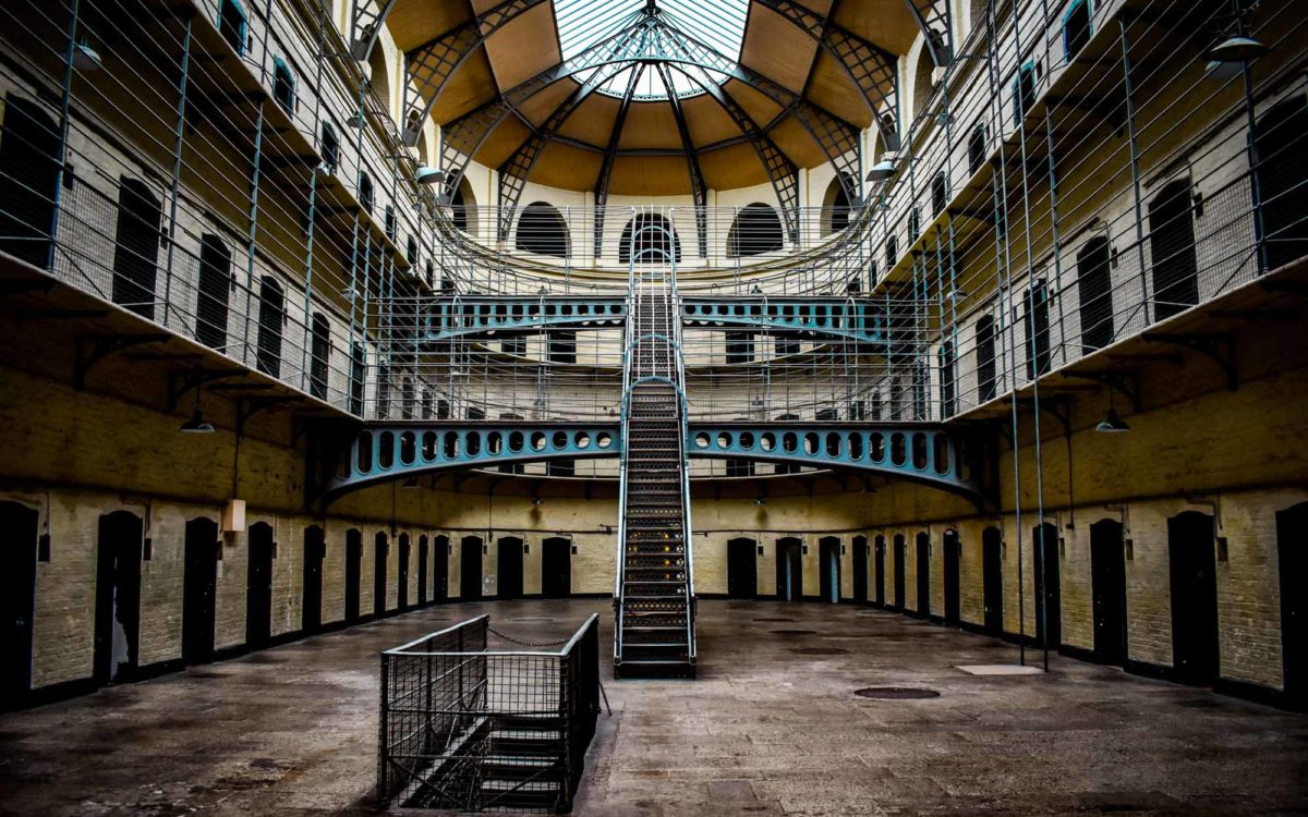 Enclosure in Guileen (stradbally By., Luggacurren Ed)Enclosure · 520 yd
 IndicatedCastle, unclassified · 1407 yd
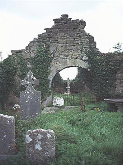 graveyard/cemeterygraveyard/cemetery · 1529 yd
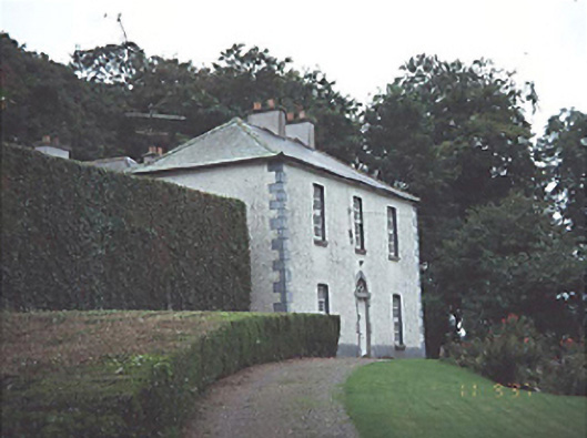 Timogue Househouse · 1.7 mi
 Tullamoy Castle (ruins)Castle · 1.7 mi
 Mass Rock WalkWalking route · 2.0 mi
 Cobbler's Castle WalkWalking route · 2.1 mi
 Oughaval Wood MapVisitor information · 2.2 mi
 Mass RockNamed rock · 2.2 mi
 DM PenderMemorial · 2.4 mi
 CEMETERYGraveyard · 2.4 mi