What is recorded here
Fairy forts are human ringforts misnamed because people stopped remembering the hands that built them. In Grousehall, a sixteen-metre circle of earth and ditch still stands on a grassy hill, its narrow southwest gap pointing toward the land it once faced. The inside was cultivated, perhaps a garden, before becoming pasture and legend. The fairies did not invent the fort; forgetting did.
Internal diam. 16.7m. A subcircular area enclosed by an earthen bank up to .63m in height and a silted fosse up to 1.6m wide. The interior is level but was formerly cultivated as a garden. A gap 1.45m wide to the SW was probably the entrance. It is situated on the summit of a small hill in good pasture commanding excellent views.
The above description was derived from the 'Archaeological Survey of County Donegal. A description of the field antiquities of the County from the Mesolithic Period to the 17th century.' Compiled by: Brian Lacey with Eamon Cody, Claire Cotter, Judy Cuppage, Noel Dunne, Vincent Hurley, Celie O'Rahilly, Paul Walsh and Seán Ó Nualláin (Lifford: Donegal County Council, 1983). In certain instances the entries have been revised and updated.
Date of upload: 22 September 2008
The monument record does not grant public access. Check the route and ask the landowner before entering private land.
- What survives
- Recorded monument
Places near here
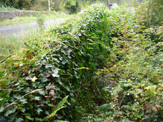 bridgebridge · 1039 yd
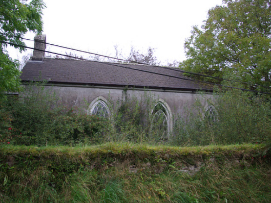 Cashelenny Church of Ireland Churchchurch/chapel · 1199 yd
 Grousehall ForestForest · 1.1 mi
 RECTANGULAR ENCLOSURE in GreaghmoreRECTANGULAR ENCLOSURE · 1.3 mi
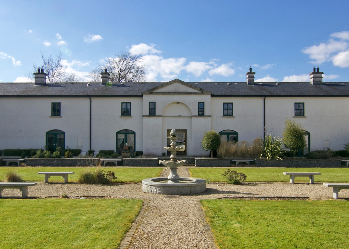 ENCLOSURE in DrumlongfieldENCLOSURE · 2.6 mi
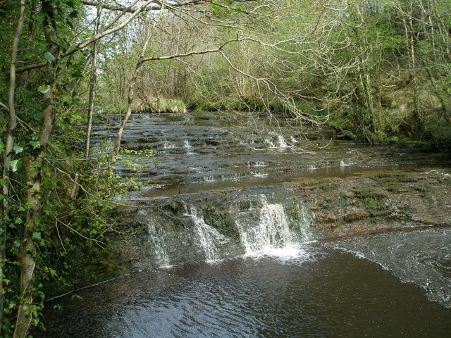 Drummoney WaterfallWaterfall · 2.8 mi
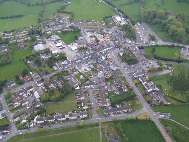 Kesh ForestForest · 3.0 mi
 Drumskinny Stone CircleHeritage attraction · 3.1 mi
 Boat IslandIsland · 3.9 mi
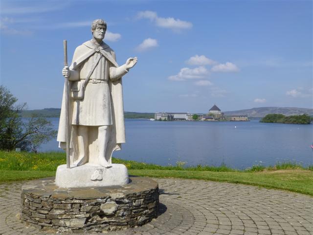 Patrick the PilgrimMemorial · 3.9 mi
 Ash IslandIslet · 4.1 mi
 Dooraa HillMountain / peak · 4.5 mi