What is recorded here
Located on the summit of a drumlin. A circular earthwork is depicted on an estate map of the Barony of Cremorne by Brownrigg and Longfield (1790) in NLI (21. F. 27). No archaeological features are visible on aerial image (OSAP, 1995 and 2000, 2005; Bing c. 2013).
The above description is derived from the published 'Archaeological Inventory of County Monaghan' (Dublin: Stationery Office, 1986). In certain instances the entries have been revised and updated in the light of recent research.
Revised by: Michael Moore
Date of revision: 22 June 2018
The monument record does not grant public access. Check the route and ask the landowner before entering private land.
- What survives
- Recorded monument
Places near here
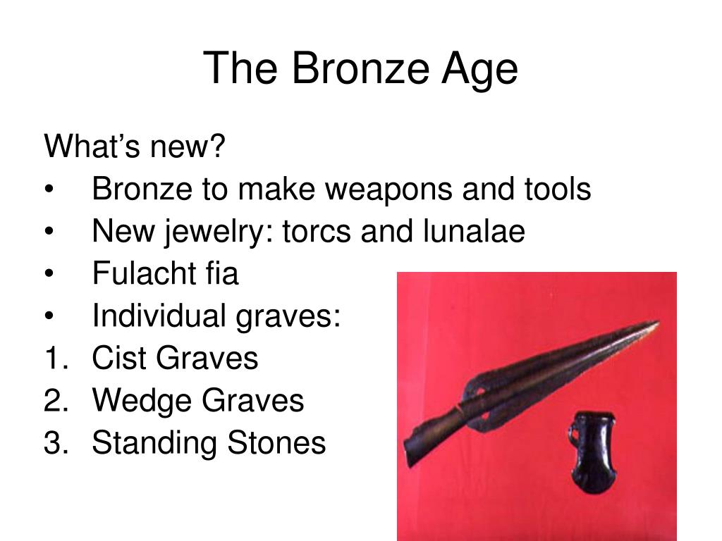 Fulacht fia in GrigFulacht fia · 515 yd
 Monaghan WayWalking route · 1072 yd
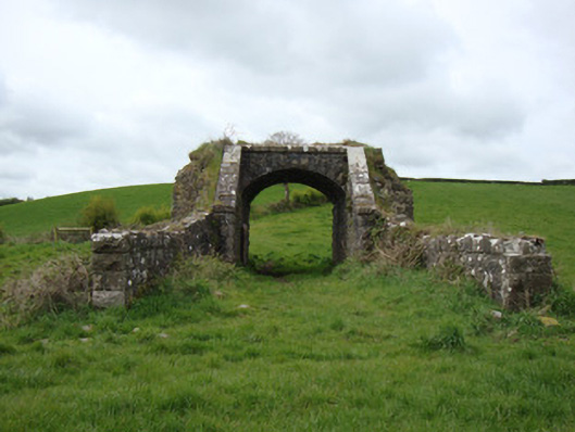 bridgebridge · 1466 yd
 IndicatedEnclosure · 1.0 mi
 The CrescentMemorial · 1.5 mi
 Corratanty Housefarm house · 1.6 mi
 John Francis GreenMemorial · 1.8 mi
 Bawn in OnomyBawn · 2.1 mi
 Blaney CastleCastle · 2.1 mi
 Harper's IslandIslet · 2.6 mi
 Garmany's IslandIslet · 2.7 mi
 Lough MucknoLake and park landscape · 2.9 mi